Over the last few years I’ve developed a bit of a love of the type of travelogue where someone wanders the countryside musing whimsically on not very much (think “Rings of Saturn“). So I thought I’d publish my own adventures somewhere, more to have a record than for anyone to really read! That said, I’ve occasionally found other people’s blogs handy when planning a parkrun or cycling trip, so you never know what may be of use to someone.
I haven’t been out on the bike much over Christmas so I decided I’d start small and see if I could get up to Epping Forest from my home in Tottenham Hale without having to cycle along any main roads. Although, this might have been easier if I had had a map.
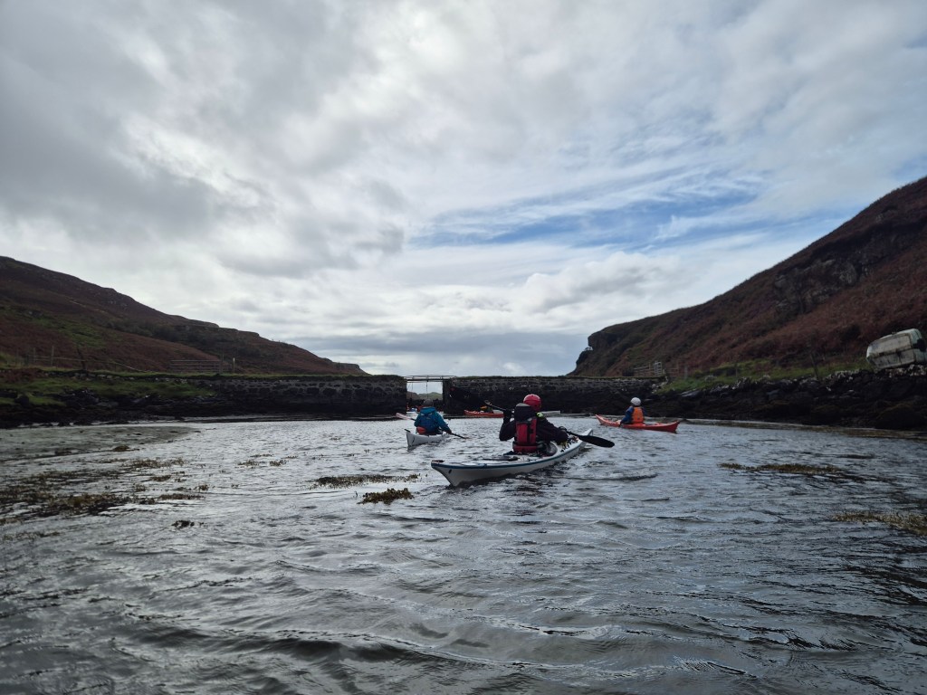
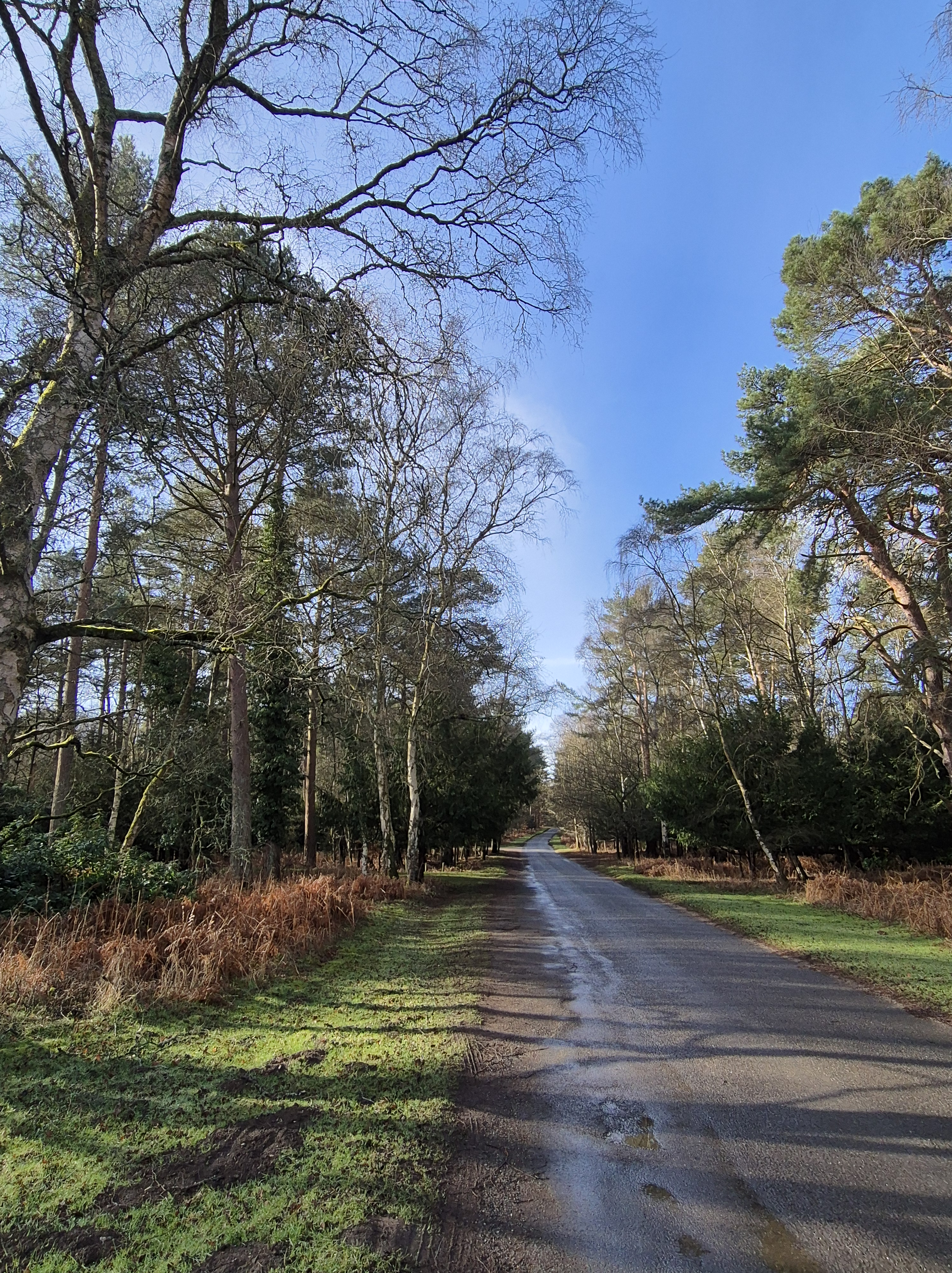
It turned out not to be too much of a challenge, maplessness notwithstanding, although there were a couple of what I will choose to call ‘side adventures’. I biked up the Lea Valley past the Stonebridge lock and then turned off towards Walthamstow. I’d been up this way before for the Walthamstow parkrun (one of London’s most boring parkruns), so after a brief detour up towards the north circular I crossed at the Crooked Billett roundabout and followed the signs for ‘Chingford (quiet route)’. Simples!
End of Chingford high street where the cycle lane ends.
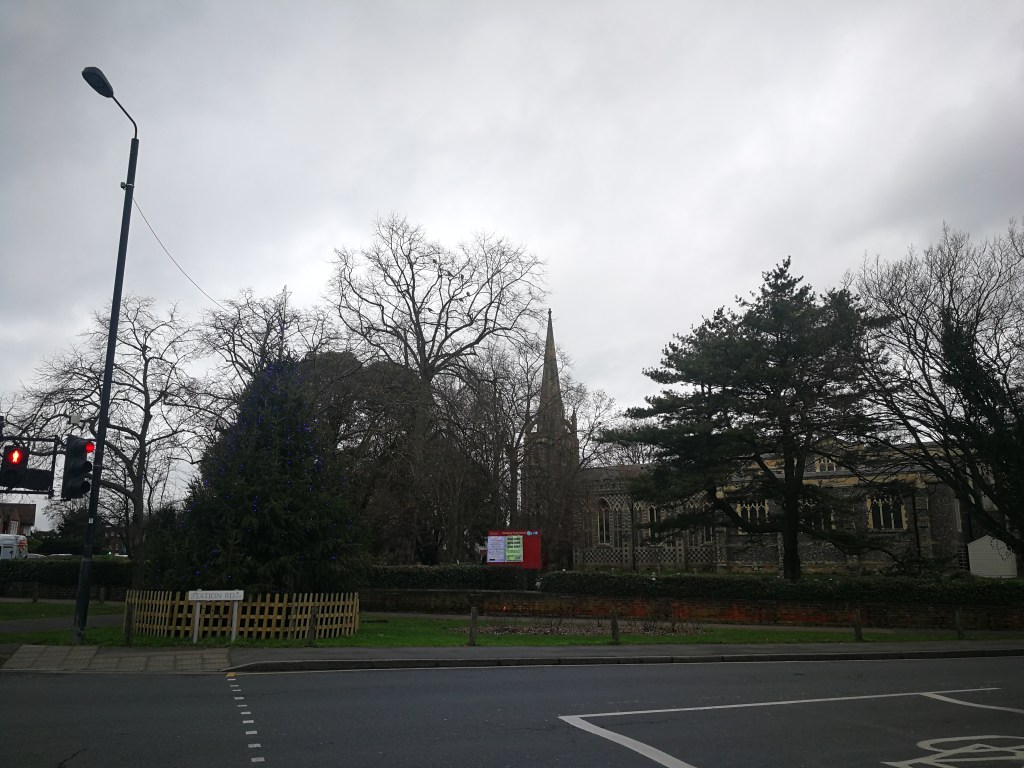
It wasn’t a particularly interesting route – lots of suburban backstreets. However, it was fairly quiet. There was a section where cyclists were instructed to dismount, which I don’t think is really acceptable on a signposted bike route, and some of the signs were missing or turned around towards the Chingford end. The quiet route also finishes short of Chingford Station which is less than ideal.
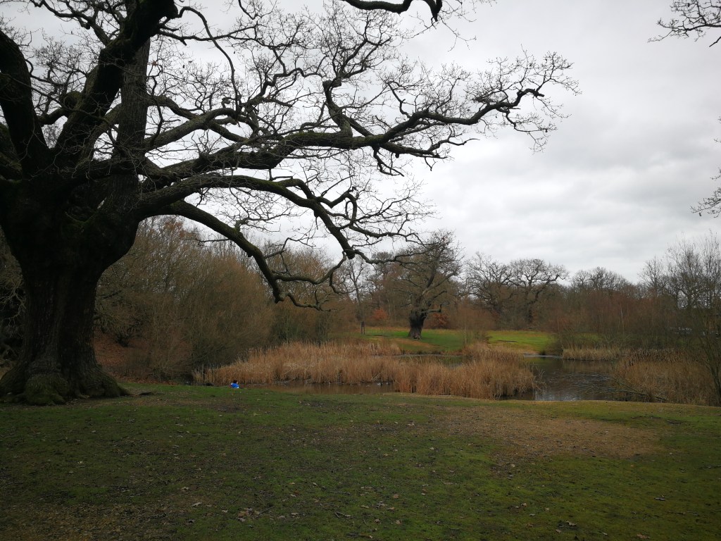
The actual forest did not particularly lend itself to cycling at the current time of year. The roads that run through the forest at this point were quite busy and not roads I’d feel comfortable cycling on, and the forest itself was pretty muddy. I tried to stick to the marked trails to avoid getting lost, and these were just about OK for my hybrid bike, but I wouldn’t attempt on a road bike other than during the summer.
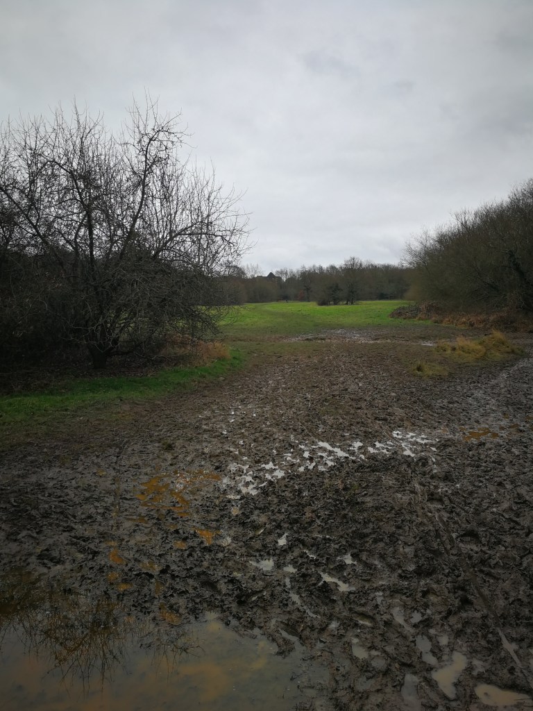
Unfortunately at one point I decided to deviate from the marked trail as it looked a bit muddy. Obviously that was the point at which I ended up getting lost. And then ended up getting muddy anyway.
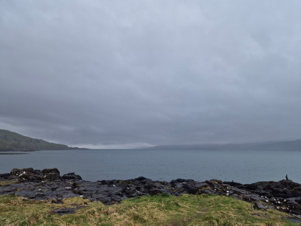
Oh look, a sea of mud.
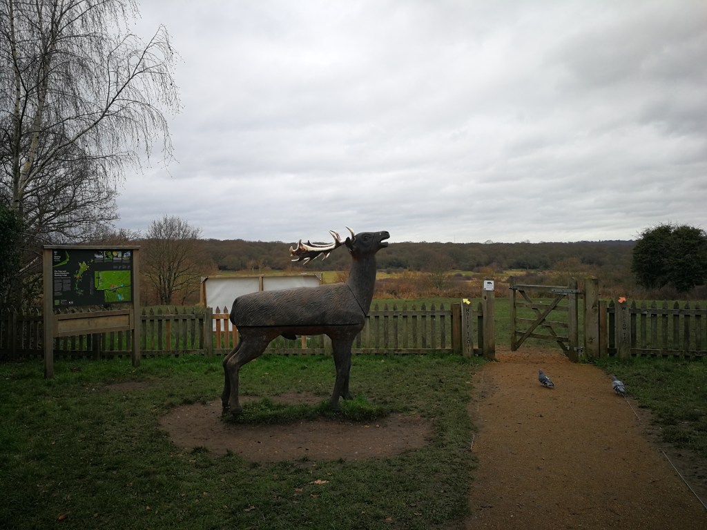
Still, it’s pretty hard to get thoroughly lost when you’re on the edge of London, you can still hear traffic and you have a mobile phone, so I survived. I bought a map in the conveniently located visitor centre, for next time.
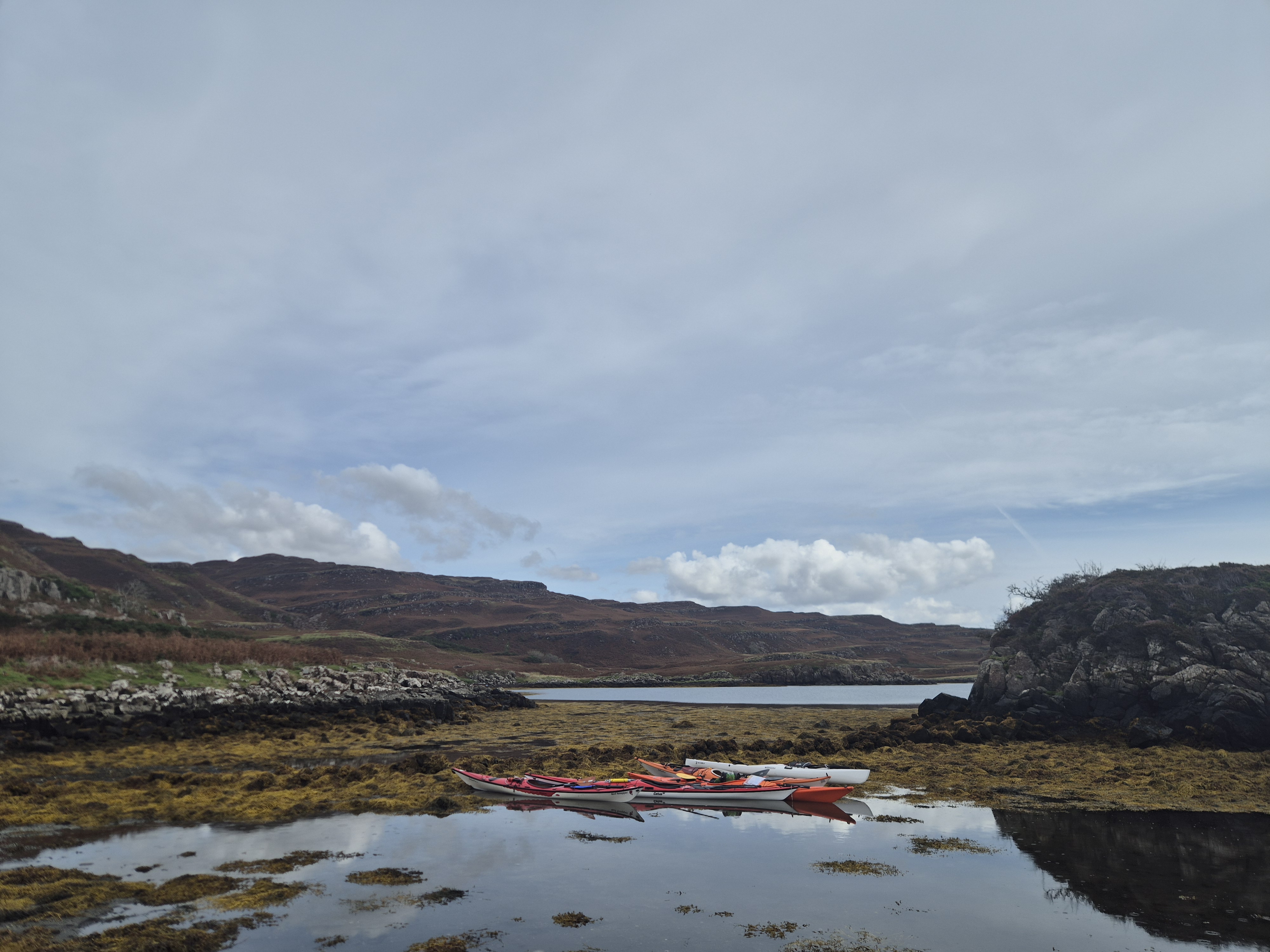
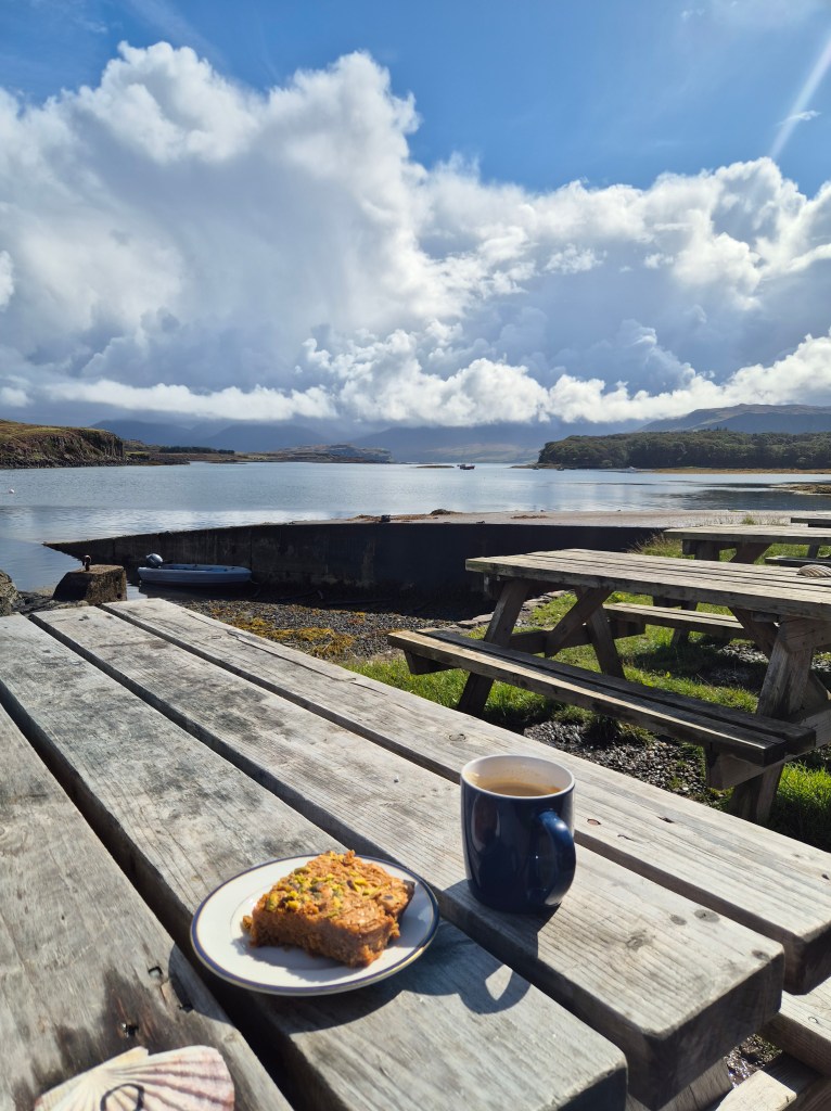
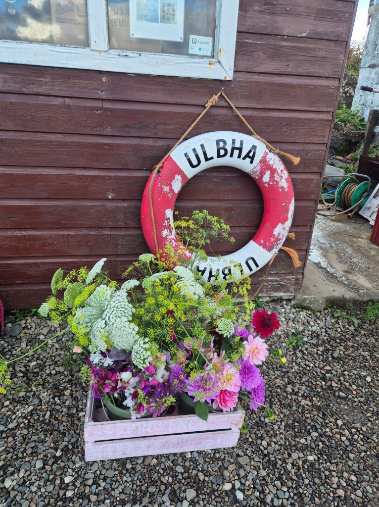
An early September trip to the island of Ulva to celebrate a club member’s milestone birthday. We stayed in the well-appointed Ulva Hostel, a basic but comfortable bunkhouse on the island. Our host Andy was both incredibly helpful and absolutely chock-full of knowledge about the island. I highly recommend a trip here for a taste of ‘off-grid’ living and a whole range of kayaking options.
Day 1 – The Convoy Arrives
Coordinating 18 of us to arrive at the Ulva Ferry simultaneously was no mean feat but we somehow acheived it bar a couple of stragglers. It was an easy and calm half mile paddle round to the hostel and the ferry man and Andy were more than accommodating at transporting our assorted food, gear and mysterious bags across via ferry and quad bike. There is an easy and sheltered landing spot down the hill from the hostel which Andy had kindly mown for us. This was however a wee bit boggy – not one for the winter months! They also use cattle to keep the bracken down so we had a welcoming committee of curious bullocks. The hostel itself has everything you could need (including a sauna!) although the water is a questionable shade of brown – I drank it for the full five days and came off none the worse but others may wish to boil it. The beds were very comfortable with a small shelf for your phone etc for those of us in a top bunk. Water pressure in the showers could be more powerful but given the hostel has no mains water it is difficult to quibble about this!
Day 2 – North Coast of Ulva
On our first proper day of paddling we took advantage of the shelter of Ulva to explore the Northern side of the islands. Departing from the hostel we set a leisurely pace exploring the islets and bays. The geology here is not as interesting as the Southern shore but you get a good view of the Eas Fors waterfall on Mull.
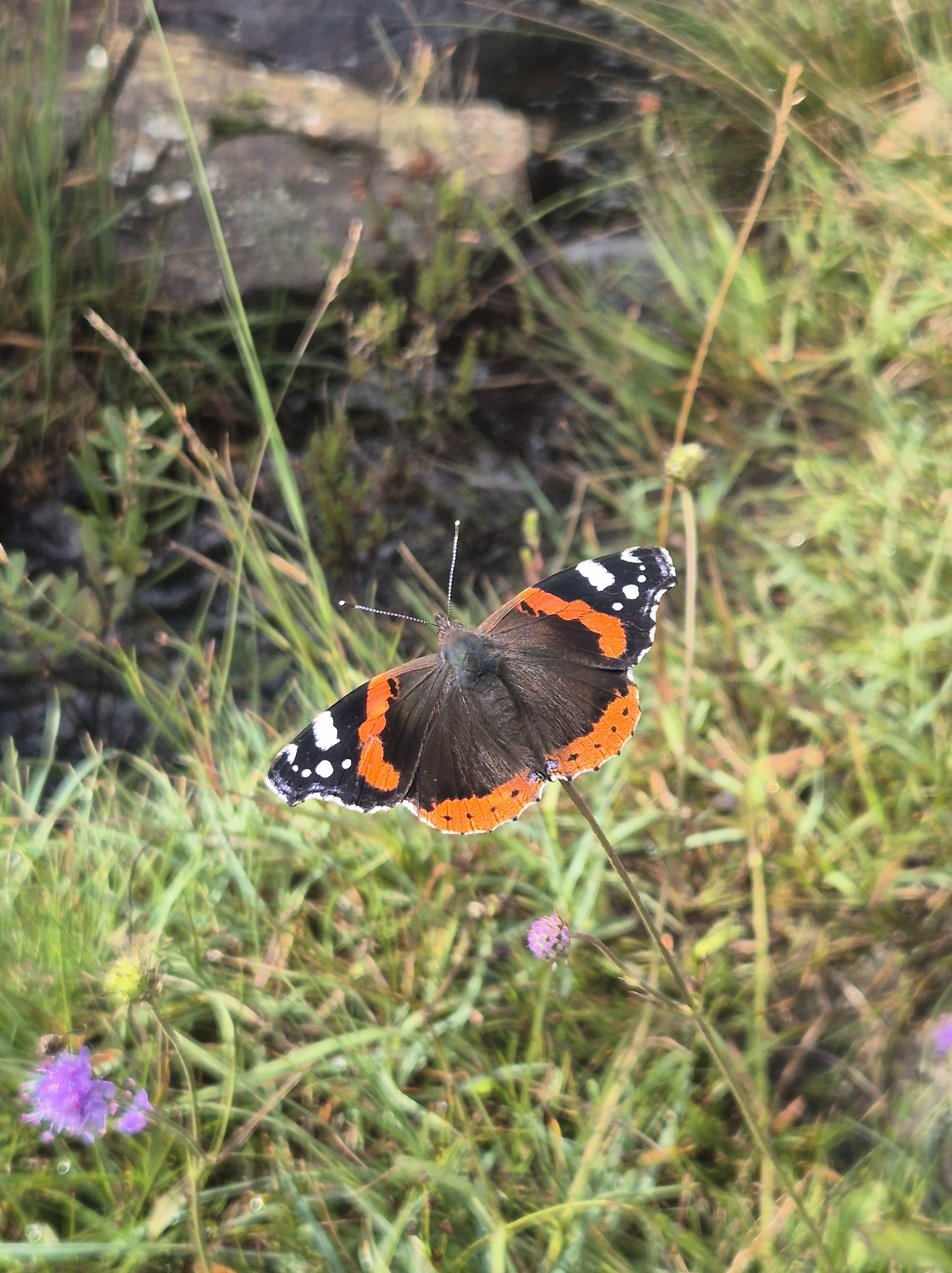
Rounding into a forested bay we were stared down by a formidable sea eagle perched on an outcrop, followed by an aerial display from its partner. This bay also included a number of barrel jellyfish, or ‘dustbin-lid jellyfish’ – wildlife aplenty!
On reaching the gap between Ulva and Gometra we could feel the force of the wind coming between the two islands. As we were an hour or so before low tide on a neap tide we weren’t able to paddle through the gap, but could get a good way in and under the bridge.
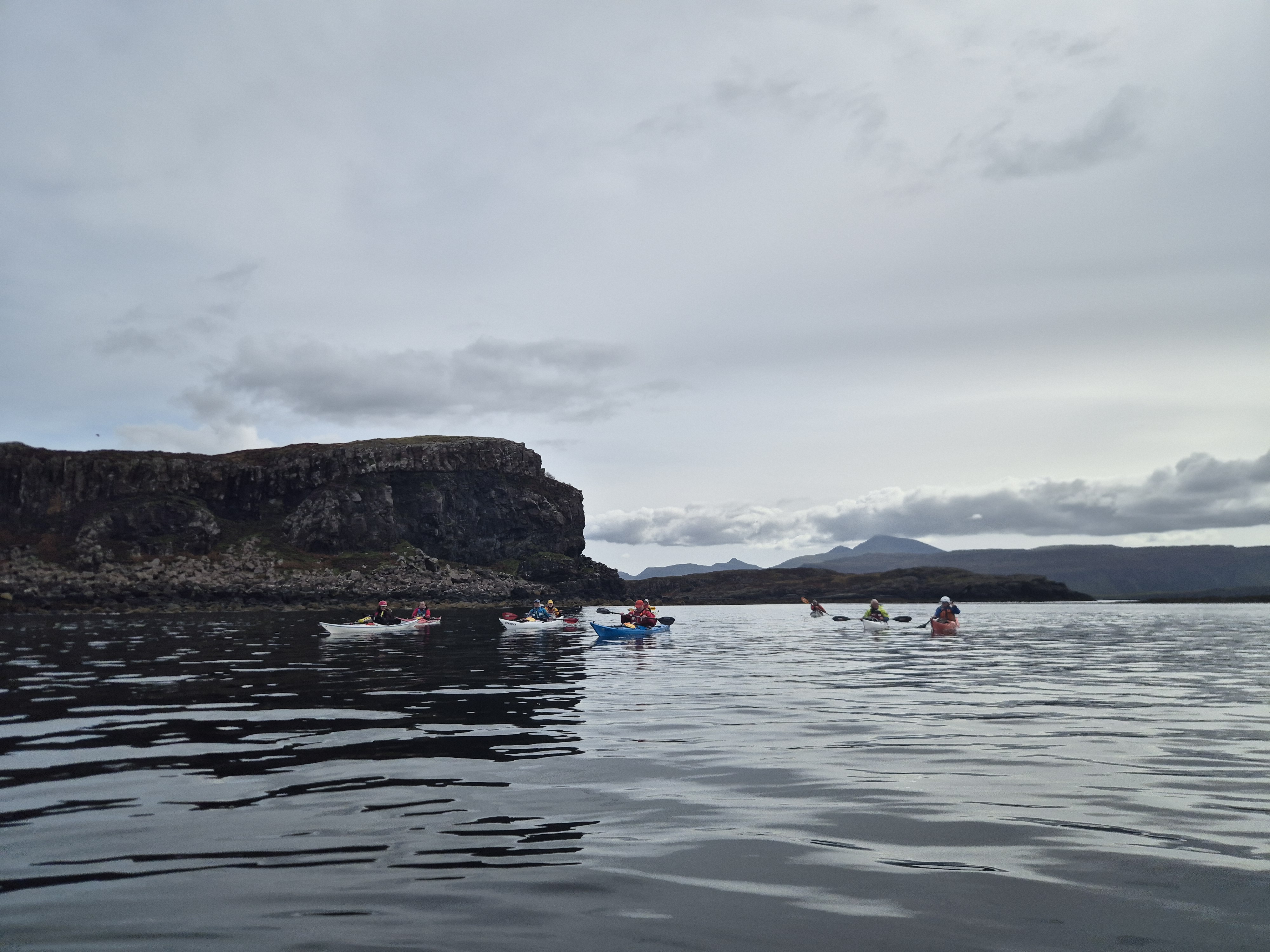
We paddled round the next headland but due to excessive amounts of whinging from some of the group (me) we decided to retrace our steps and we were boosted home by a slight following sea; a further dramatic sea eagle display; and amazing views of Ben More.
Distance paddled: 11 miles
Day 3 – South Ulva and Little Colonsay
With the best weather conditions of the trip some group members more intrepid than I set off for a paddle across to Staffa… maybe next year says I!
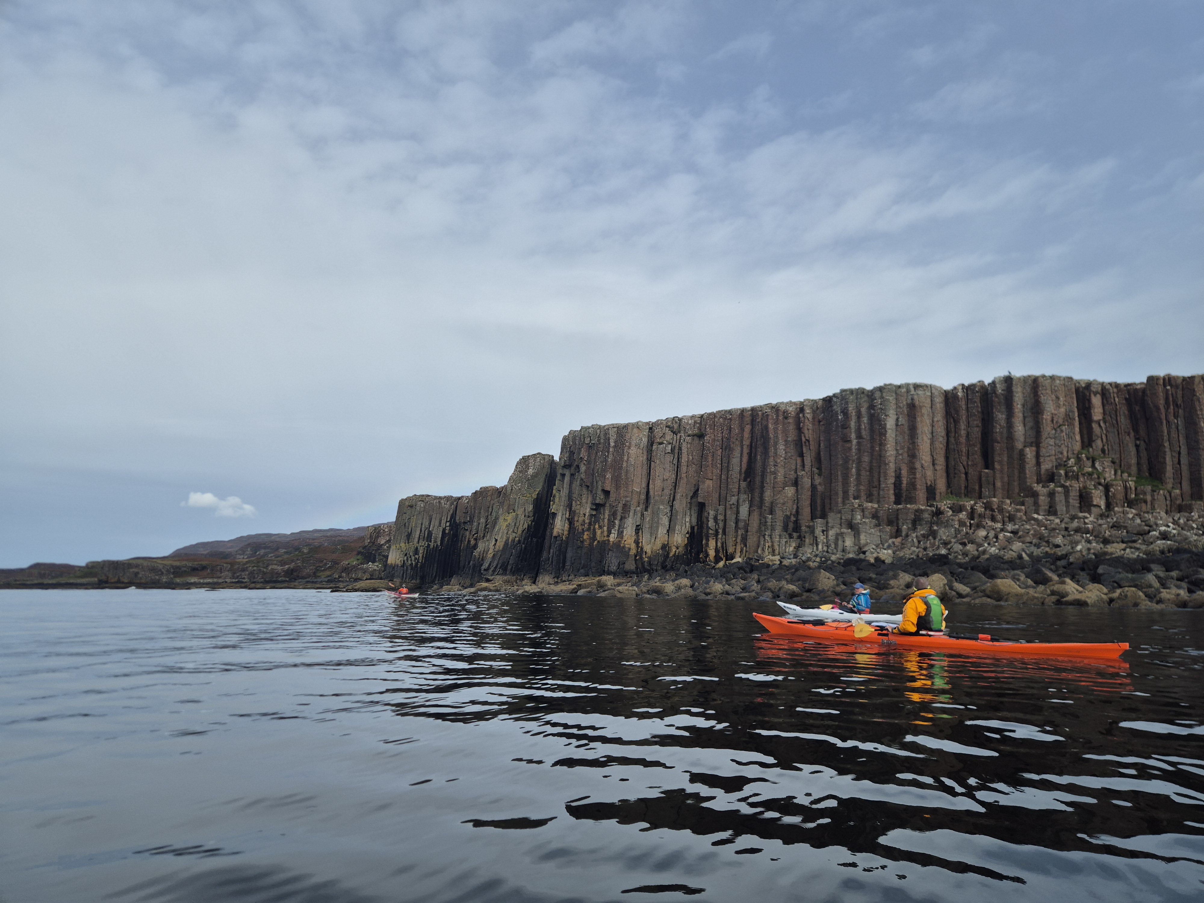
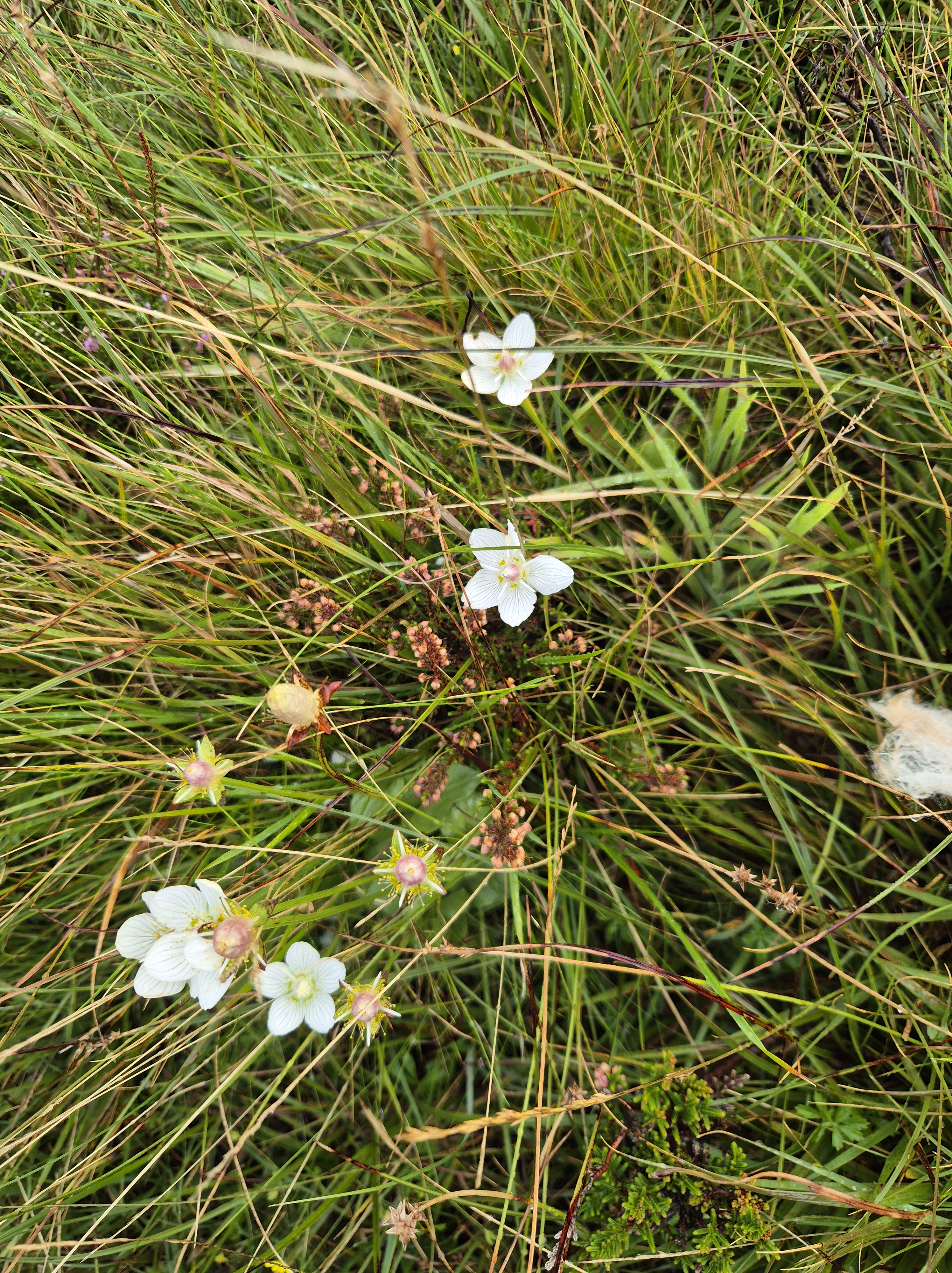
I joined the slower group for an exploration of the skerries on the South side of Ulva. The weather was better than forecast with very little swell and the promised winds failing to materialise. As described in a previous post, the southern side of Ulva has some interesting basalt pillars similar to those seen at Staffa, as well as some skerries which can be fun to explore depending on direction of swell etc.
Given the pleasant weather our group decided to press on to circumnavigate Little Colonsay, off the South West of Ulva. The conditions out here were slightly choppier, with a few breaking waves on the western side, and one of our group did experience an immersion (ie – he fell in…). Thankfully he was retrieved pretty quickly – makes all the time we spend practicing this at the end of sessions seem worthwhile. We provided an entertaining spectacle for the local seal population who turned up to gawp at the drama and no doubt judge our lack of aquatic finesse.
On the way back we were once again treated to a sea eagle display, but this was a long day and the headwind for the final mile or so made it tough going, coupled with seemingly every fishing boat on the West coast deciding to moor in the Sound of Ulva! Thankfully we made it back to the hostel and our welcoming party of local cows without incident.
Distance paddled: 16 miles
Exploring the Island, and Heading Home
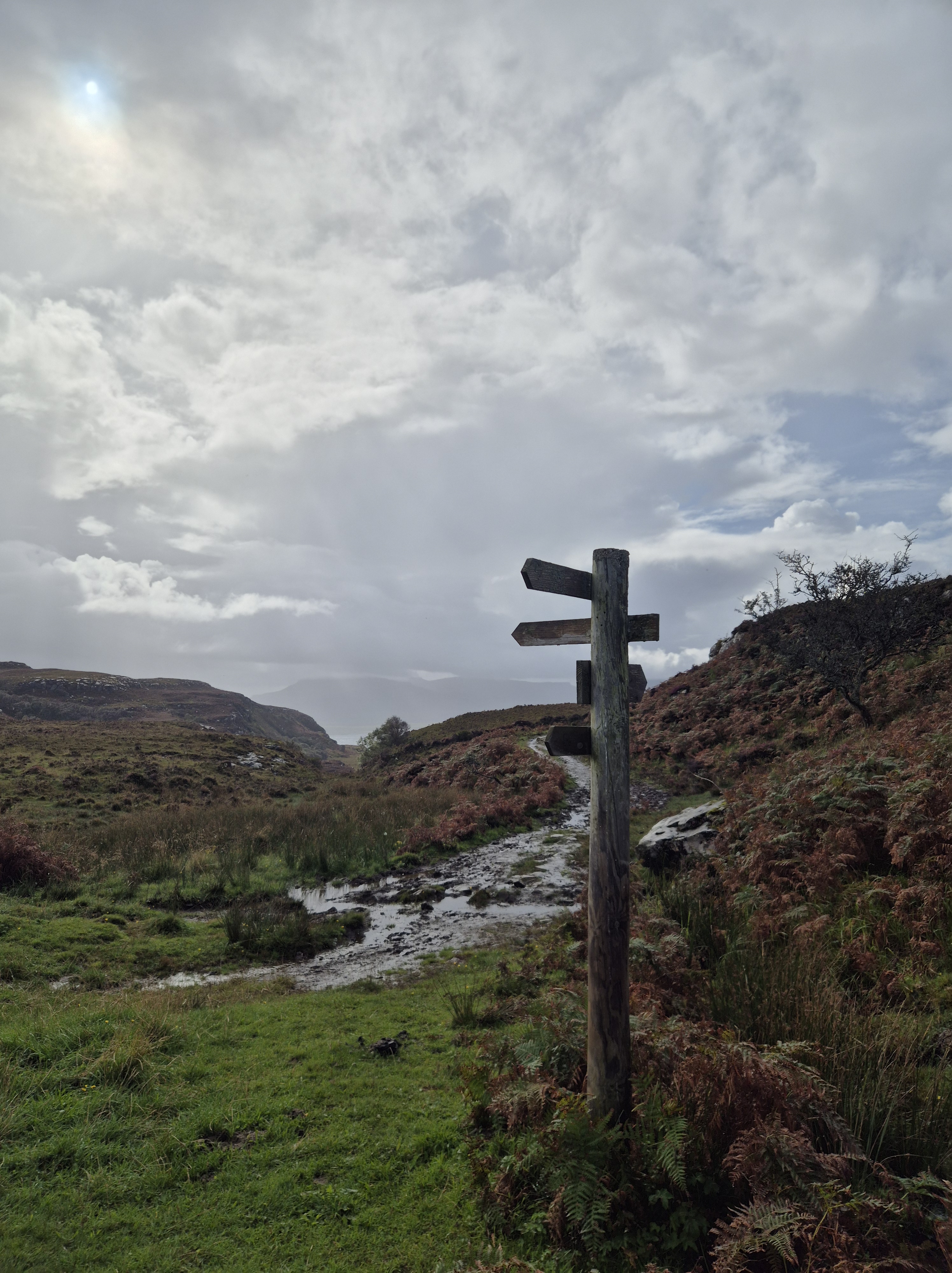
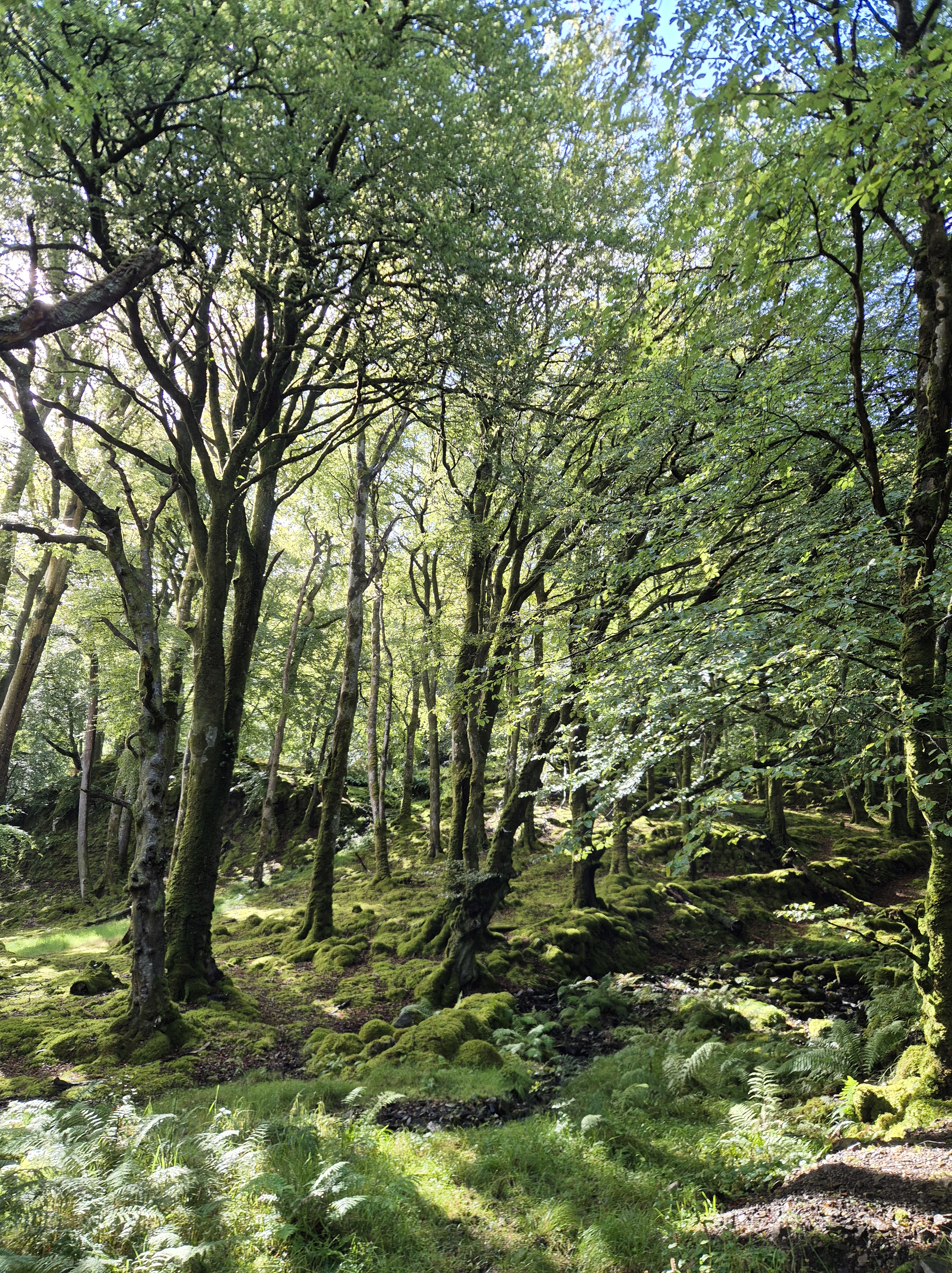
Inspired by the previous night’s history and archaeology talk from our host Andy, I decided to spend the final day exploring the island on foot (and eating cake). The walks are extremely well marked and there are a variety of distances although even on the road the route was somewhat muddy and uneven and accessing some of the points of interest such as the standing stone or starvation row require a bit of trampling across bracken and bog.
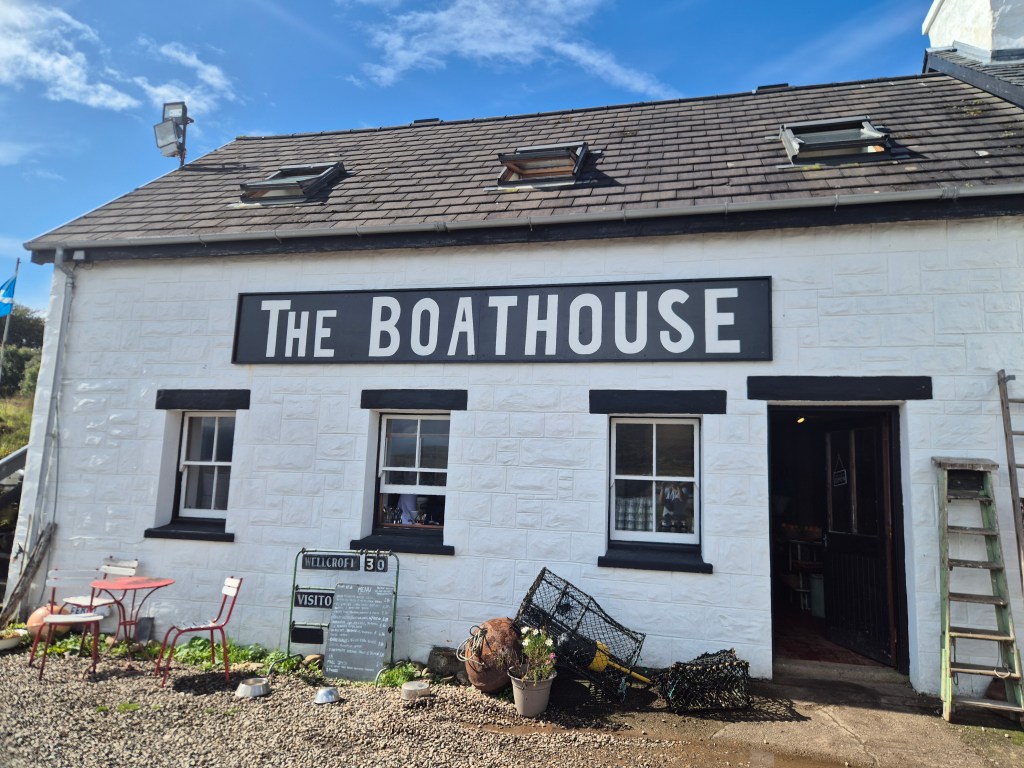
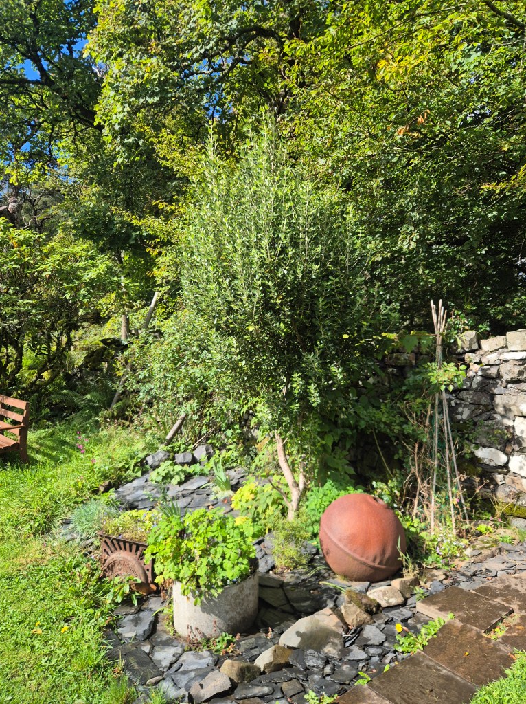
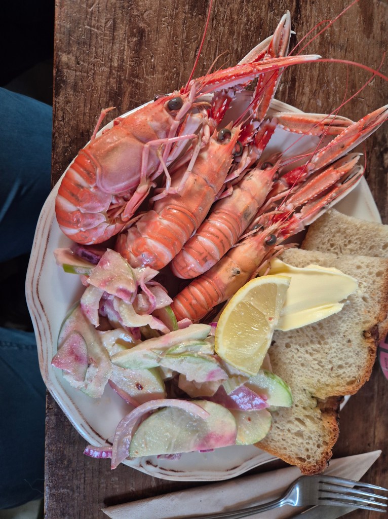
It was worth braving the mud to make it to the excellent Boathouse where yet more BBC filming seemed to be taking place. We also had dinner here (by pre-arrangement, they aren’t usually open in the evenings) and it lived up to expectations on both occasions. The ‘Big House’ on the island is in the process of being renovated into a hotel by the ever-present Banjo Beale – looking forward to seeing this! I stopped by the walled garden next to the house which is lovingly maintained and worth a visit if you are on the island.
Fuelled by the previous night’s delicious meal and keen to get off the island ahead of incoming poor weather it was an early start the following morning. Managed to get on to a standby ferry from Craignure and even had a final glimpse of a sea eagle from the ferry before they receded to distant memory.
Kayaking from Drimnin to Tobermory on a Foggy Morning
The day dawned mistier than anticipated but trusting in our optimistic weather forecasting skills we decided to go ahead with the paddle as proposed. Our small band launched from Drimnin where there is a slipway for a ferry which operates seasonally. There is very limited parking here as the space is required by lorries when the distillery is in operation and the access to the slipway also needs to be left clear. Nevertheless, this was an easy and sheltered launch spot.
We initially paddled up the coast towards Loch Sunart, taking in the scenery and wildlife – including a group of ‘porpoises with purpose’. Once we had satisfied our desire to explore we turned to make the crossing across to Calve Island at the entrance to Tobermory. However it was at just this moment that the mist decided to roll in more thickly bringing with it a band of rain. With no horizon in sight and a shipping channel between us and our destination, we decided to hedge our bets by stopping for lunch while the weather rolled through.
Post-lunch, seeing no change in the weather we reluctantly decided to paddle back down the coast and remain on the Morvern side of the Sound. As we reached our original launch spot however the clouds parted, and the sun made an appearance, tempting us into a belated crossing.
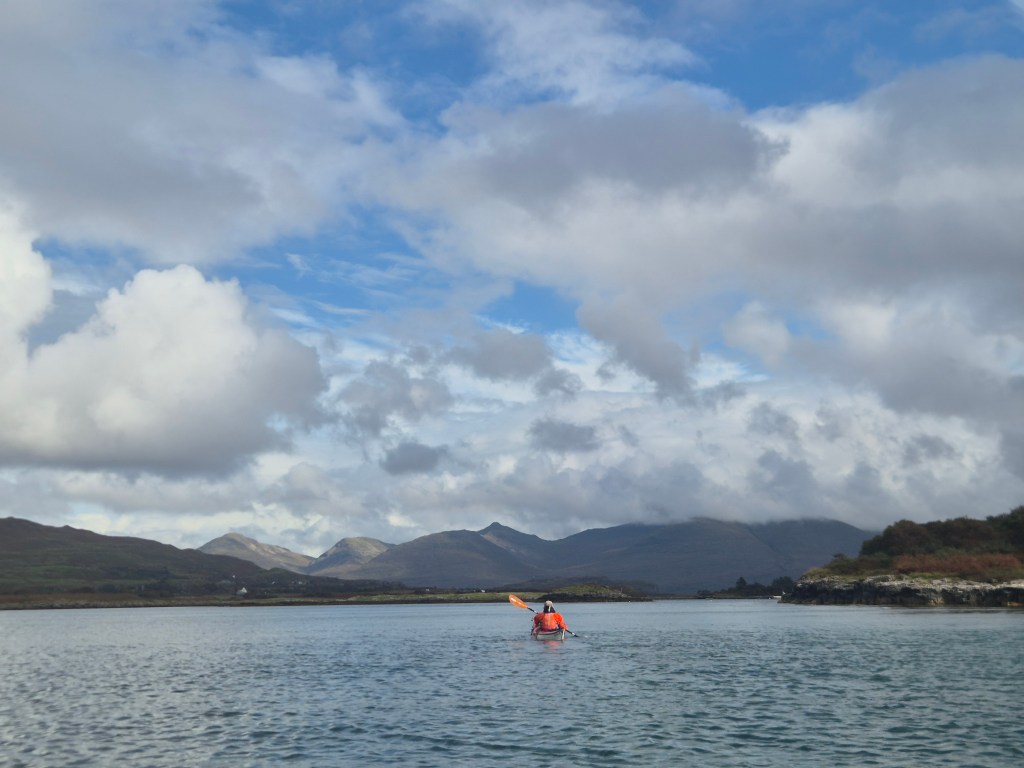
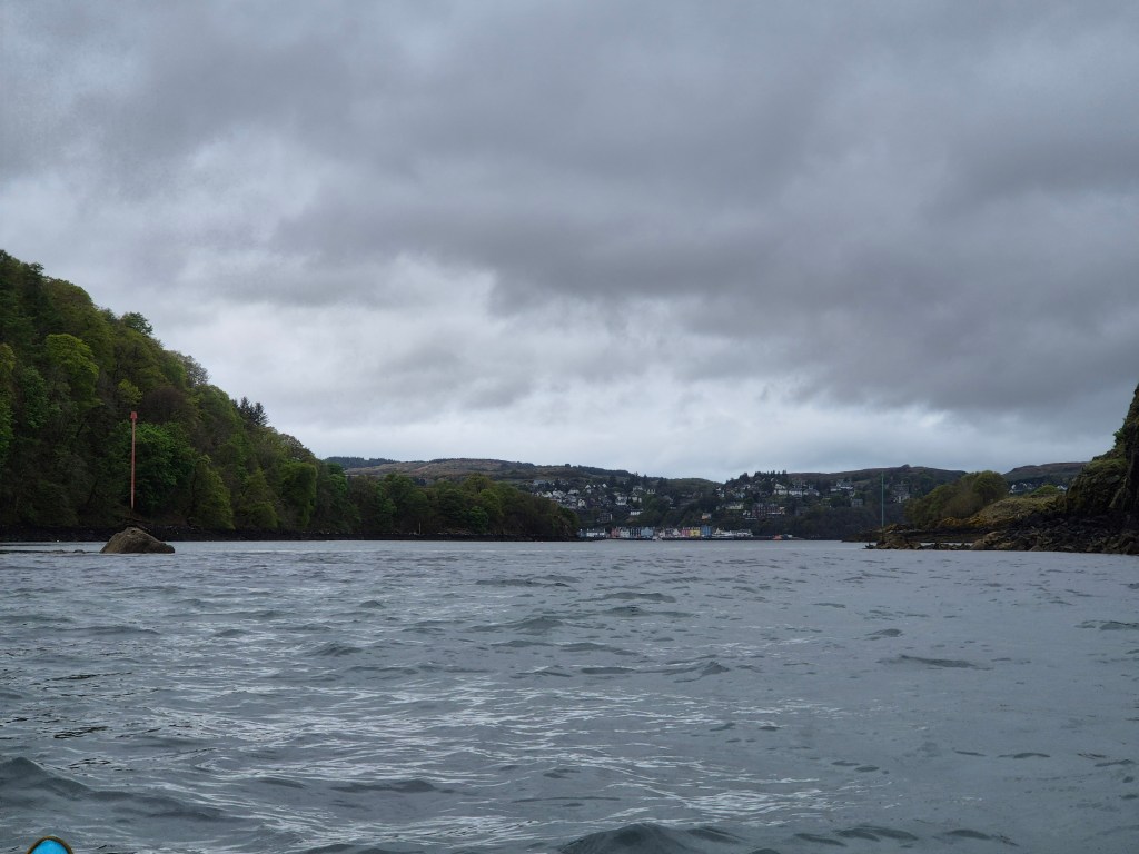
The westward crossing itself was calm and easy, with our well-prepared leader’s AIS phone device proving handy in spotting upcoming vessels. There was a small amount of tidal effect at the Southern end of Calve Island but once round into the channel this dissipated. We spent some time exploring the channel and providing entertainment for the local seal population before heading into Toberymory where our land-based support crew were ready with photography and coffee services. There is a small beach next to the pier which is accessible at low tide and provided an excellent landing spot. Sadly the icecream shop was closed – a bitter disappointment for yours truly.
The fog had lifted by the time we returned to our boats but this shifted to a stronger wind system and the journey back across turned into a somewhat more challenging proposition, not least when our well-executed ferry glide was disrupted by the Lord of the Isles bearing down on us. However all reached the safety of the harbour intact and with the satisfaction of a goal achieved. Many thanks to Adrian for his AIS system and excellent judgement.
During the pandemic I conceived an idea to cycle through Lincolnshire and bought various maps of the area, but sadly the idea never came to fruition. Roll forward a couple of years and fresh with enthusiasm from a cycling trip round Thailand I decided a cold February was the time to rekindle the plan… Thailand it ain’t!
Day 1 – Titchwell to Sedgeford
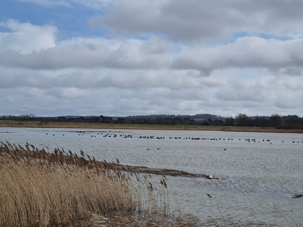
Due to a combination of laziness, wind and rain I abandoned my original plan of starting from Cromer in favour of a lift to the RSPB reserve at Titchwell. This shortened my planned ride considerably and gave me a couple of hours slouching round the reserve. The reserve is well worth a visit with plenty of birds including spoonbills, avocets and pintail ducks. Despite promises of a water rail it was nowhere to be seen, which was a strong indicator of the number of water rails I would see in the coming days on the “water rail way”!
The cafe at the reserve was a tad disappointing but luckily I was well supplied with cake and it was easy to access the bike route from the reserve with only a very short stretch along the main road. Sadly this did involve cycling up a large hill, which I was then sent straight back down again due a diversion caused by sugar beet harvesting. The pouring rain then chose to add to my woes and although it was only 10 miles to my accomodation this was probably the hardest ride of the trip. My accomodation was at the excellent King William IV Pub in Sedgeford – they had a great space round the back to store my bike (although you probably could only fit a couple back there).
Distance cycled: 10.8miles Water Rails seen: 0
Day 2 – Sedgeford to Boston
After a delicious breakfast I set off early as I knew I had quite a few miles to cover. The bike route to Kings Lynn was easy to follow and very pleasant, mainly on quiet roads and cutting through the Sandringham Estate. A few undulating hills but nothing I couldn’t make it up, despite the panniers. Kings Lynn itself has plenty of shops although the route within town is really not well signed. Unfortunately I didn’t have the relevent sustrans map of this area and google seems to think there is a ferry so I ended up getting a bit lost in town.
Due to aforementioned not having a map I ended up moving away from the NCN 1 at this point and cutting along the main road from West Lynn to Long Sutton. This was a bit of a slog along a fairly busy road and although it was quicker than meandering South as the route 1 does I can’t say I would recommend it. The ride was much more pleasant once I picked it up again at Gedney, and the number of lorries thundering past was greatly reduced!
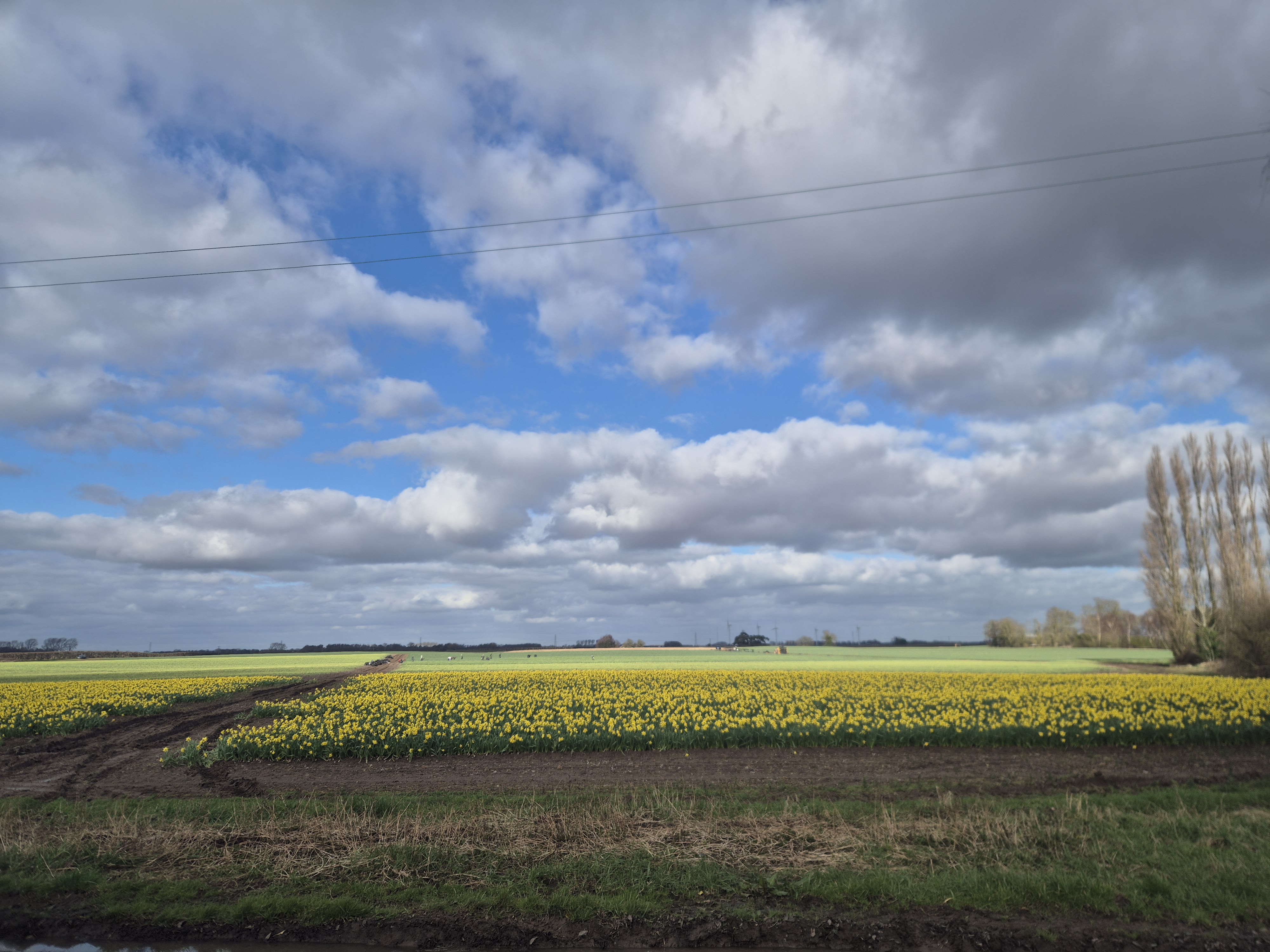
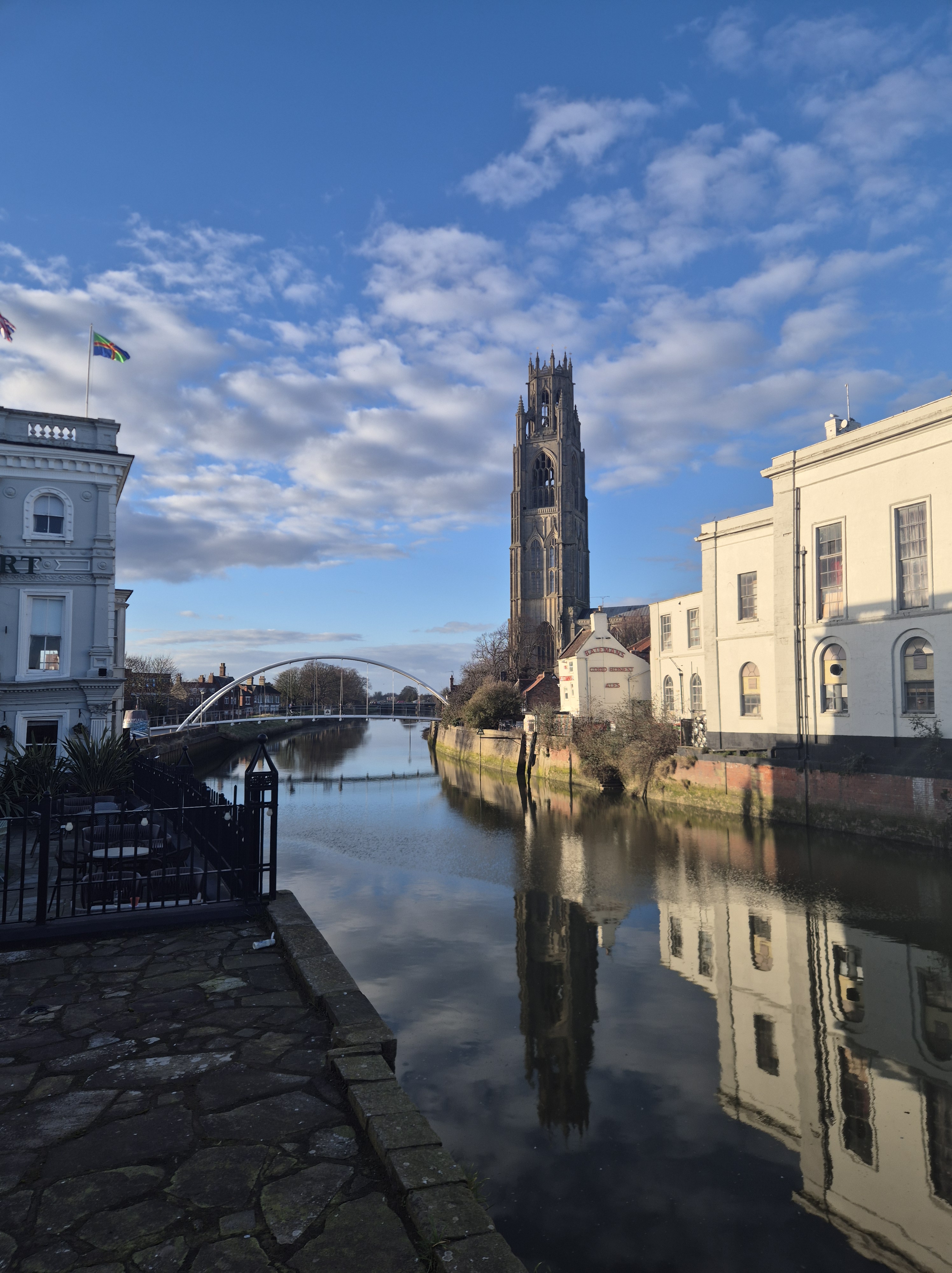
This was an incredibly flat ride through a lot of fields of cabbages and daffodils and though I can’t say I found the scenery particularly breathtaking there was a pleasant pastoral vibe and a lot of dykes – classic fen scenery. Boston itself was nicer than I had been led to expect, with a lovely parish church and a good range of restaurants.
Distance cycled: 53.8miles Water Rails seen: 0
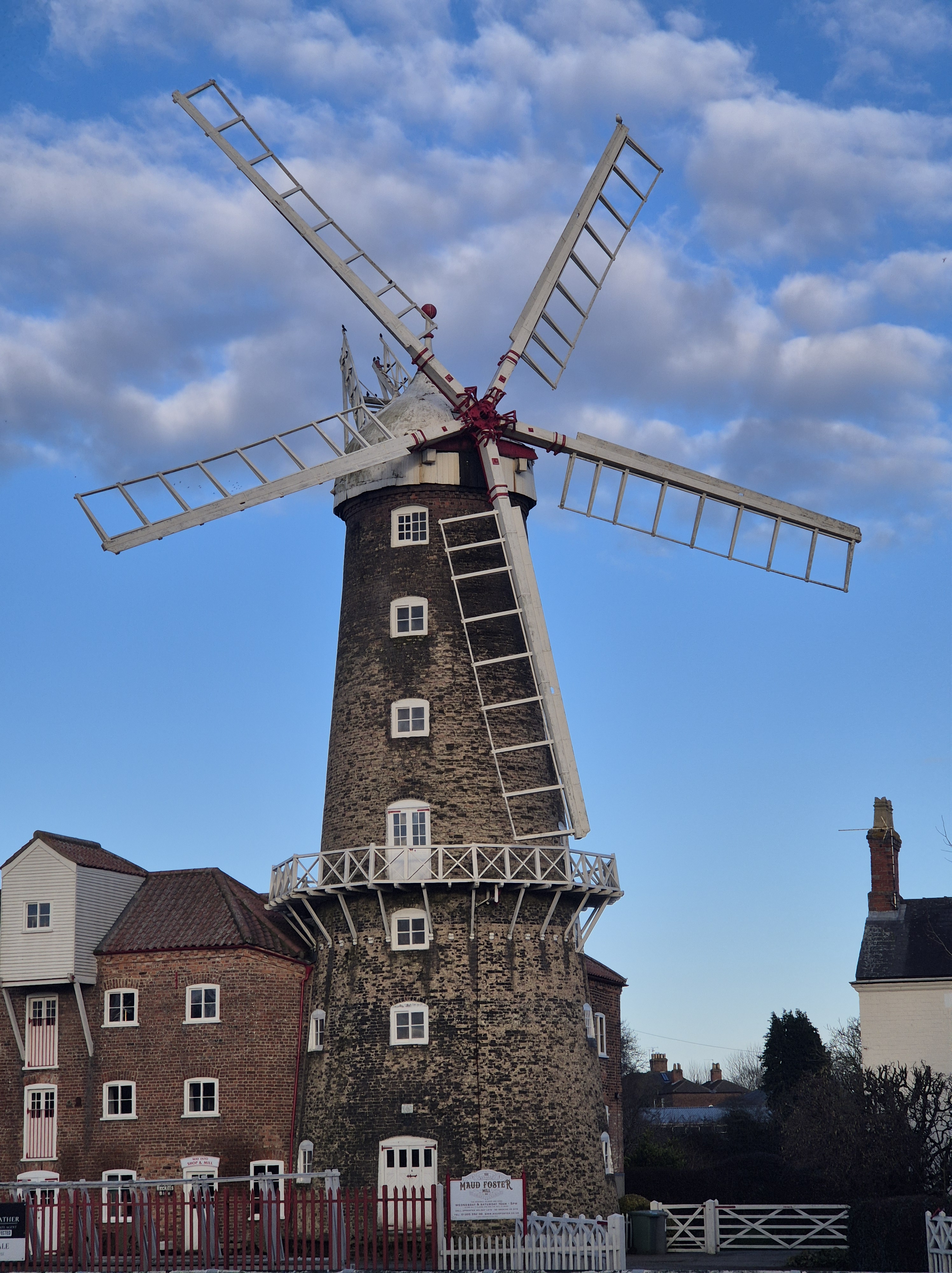
Day 3 – Boston to Lincoln
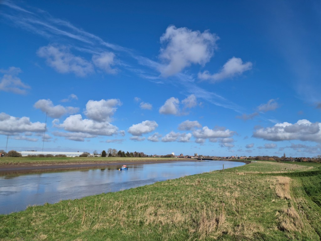
With rain predicted I decided I would take a risk and move my train from Lincoln forward. This made it seem unlikely I would be able to cycle to Lincoln but I thought I would get a few miles in along the river before turning back to Boston station. I dropped in at the incredible Boston Lock Cafe for a scone – with honey & walnut butter(!) – and a coffee before following the bike route the river. Whether it was the scone, the coffee or the incredibly flat off-road bike route, by 10am I had covered 15 miles and decided I might as well carry on to Lincoln.
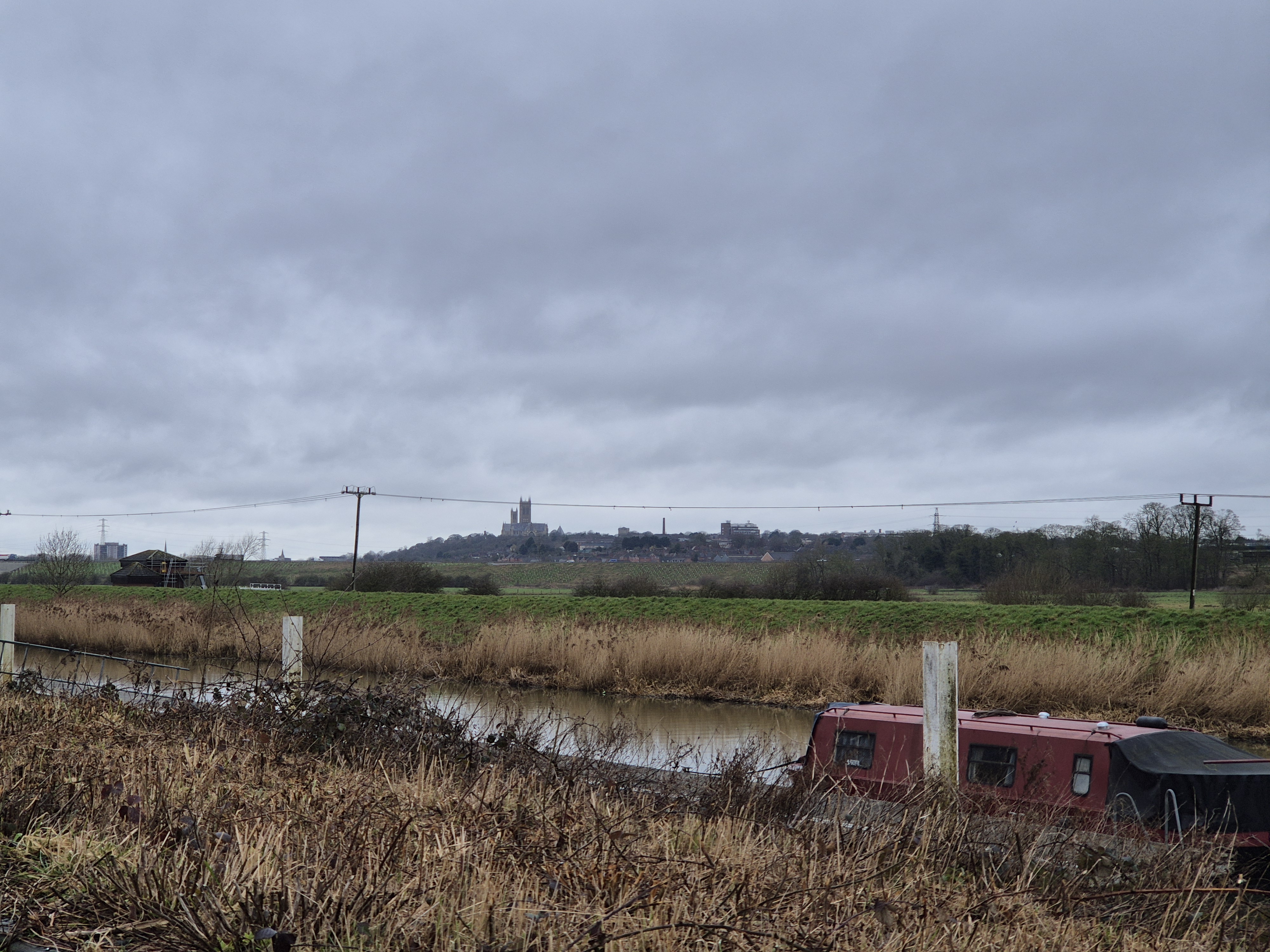
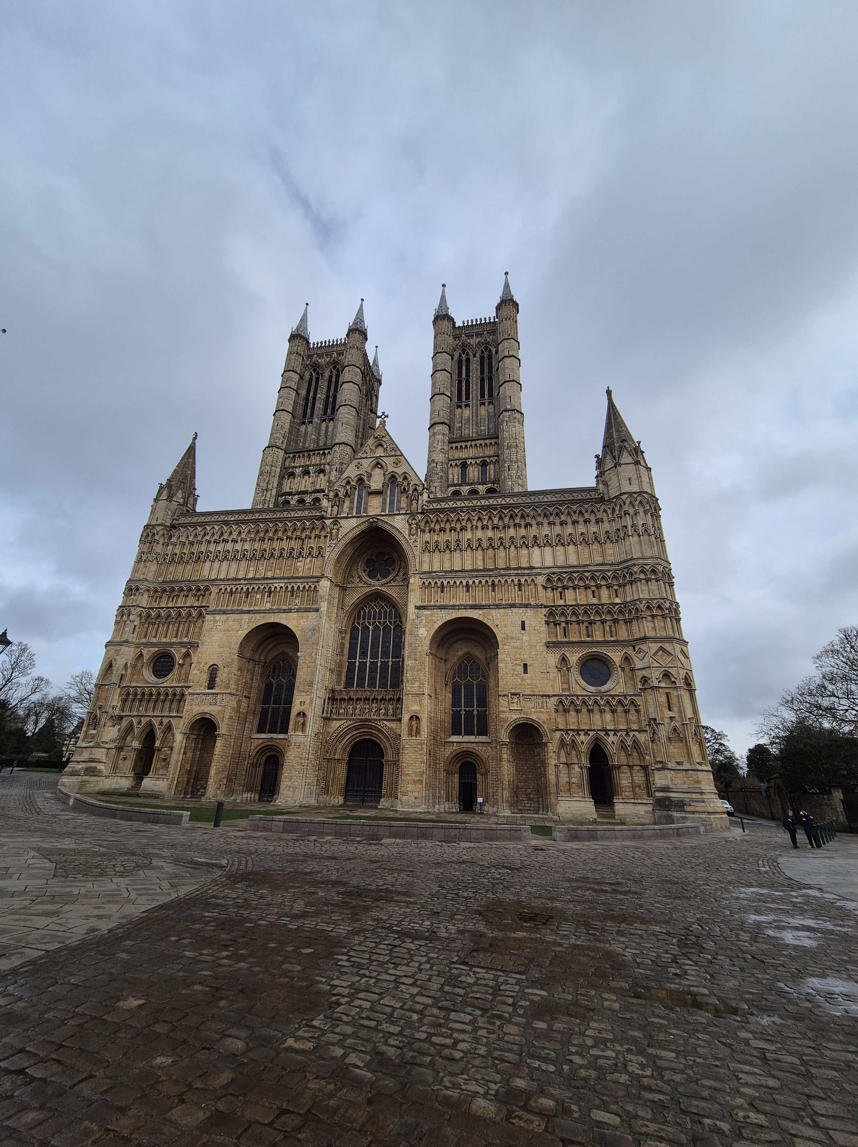
This ride was very, very flat , the riverside scenery was pleasant and there were quite a few birds to spot – egrets both little and great and a few different ducks. I did see what I *think* was a water rail vanishing into a bush but would not like to swear on it. In summer this would be a beautiful ride! With the rain setting in I didn’t stop anywhere and covered the 35 or so miles to Lincoln in about 3 hours – pretty good going by my standards. The last few miles along the river provide a lovely view of the surrounding farmland and of Lincoln cathedral up on the hill above. The entire route was very well signposted and mostly off-road.
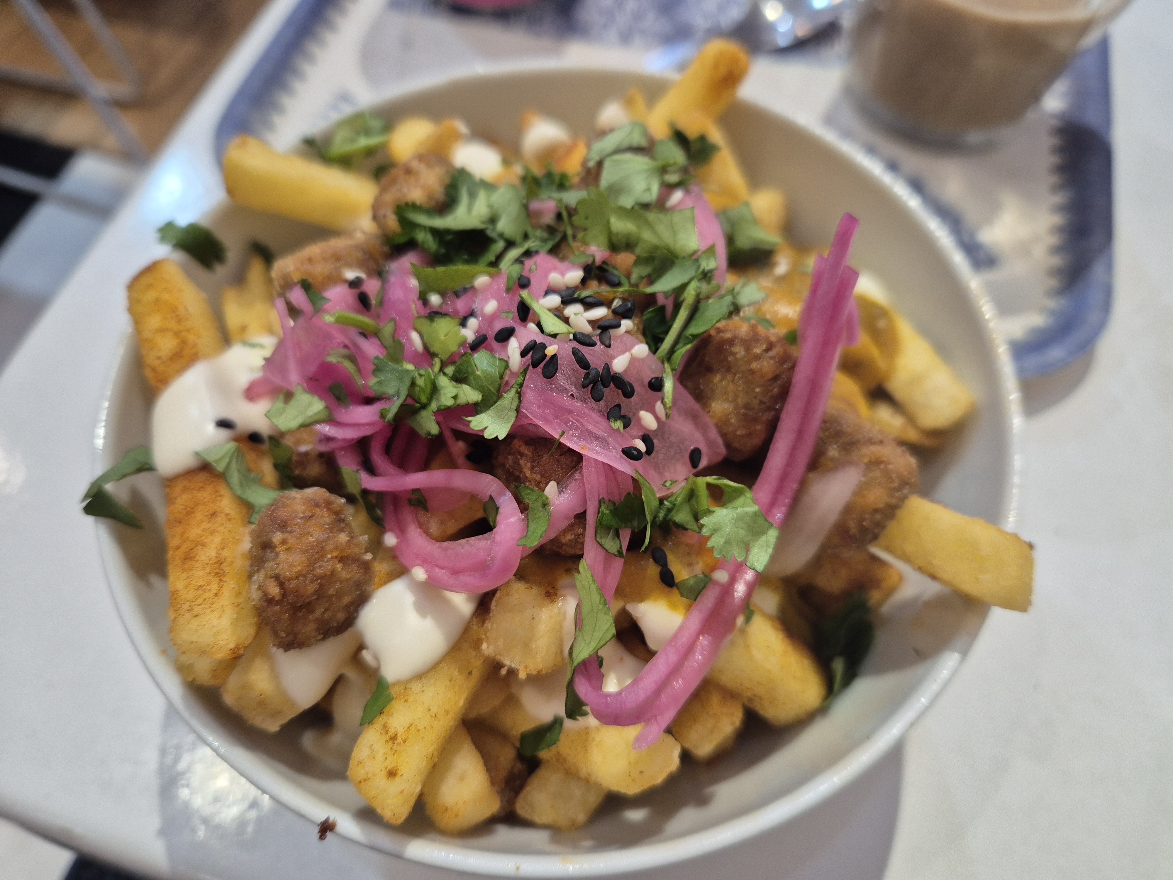
I arrived with over an hour before my train so left my bike locked up at the station and went for a wander round Lincoln, stopping in at the Bailgate Deli vegan cafe for an absolutely delicious katsu chips – this was definitely the best food day of my trip! There is a massive hill up to Lincoln cathedral which I do not advise trying to walk up whilst carrying a bike pannier…
Distance Cycled: 33.5miles Water Rails seen: 1 (maybe)
& Finally…
I would recommend a trip in this area to anyone who wants to do a very, very flat cycle! The flipside of that is that you don’t get the stunning views of say, Scotland, but there was still plenty I found interesting.
I took a large number of trains with my bike on this journey and thought it would be good to evaluate the service on each one:
1.Scotrail (Waverley to Newcraighall & vice versa) Very surprised that Scotrail were the best of them but with an allocated bike space that was vacant, horizontal and had straps they are apparently the winner.
2. Greater Anglia (London Liverpool St to Diss) You need to book these spaces and although there was adequate (horizontal) space in the carriage there was nothing to hold your bike in place so you have to prop it up the whole journey to prevent it falling over.
3. East Midlands Railway (Lincoln to Doncaster) There is a bike carriage which you don’t need to book a space for although there was a family with luggage in it when I boarded and so I had to lean my bike against the disabled loos. It was horizontal, and had a bar to hold the bike but no straps.
4.LNER (Edinburgh to London Kings Cross and Doncaster to Edinburgh) You need to book these trains but that does mean you get a space. However that space is upright and you need to hang your bike by the wheel – not great.
5.Thameslink (Finsbury Park to Oakleigh Park) There is no dedicated bike space but there is sufficient space in each carriage to lean your bike without getting in the way. These are suburban commuter trains to be fair.
6.Great Northern (Kings Cross to Finsbury Park and Oakleigh Park to Moorgate(or not!)) There is no dedicated bike space so you have to wedge your bike into the wheelchair space and hope no one needs to get by. They also don’t allow bikes between Drayton Park and Moorgate which they do enforce as I found out the hard way!
I was originally booked onto a Cross Country train between Doncaster and York but part of the reason for changing my train other than rain was that the bookable spaces on the Cross Country leg of that journey were all full. Will have to review that one another day….
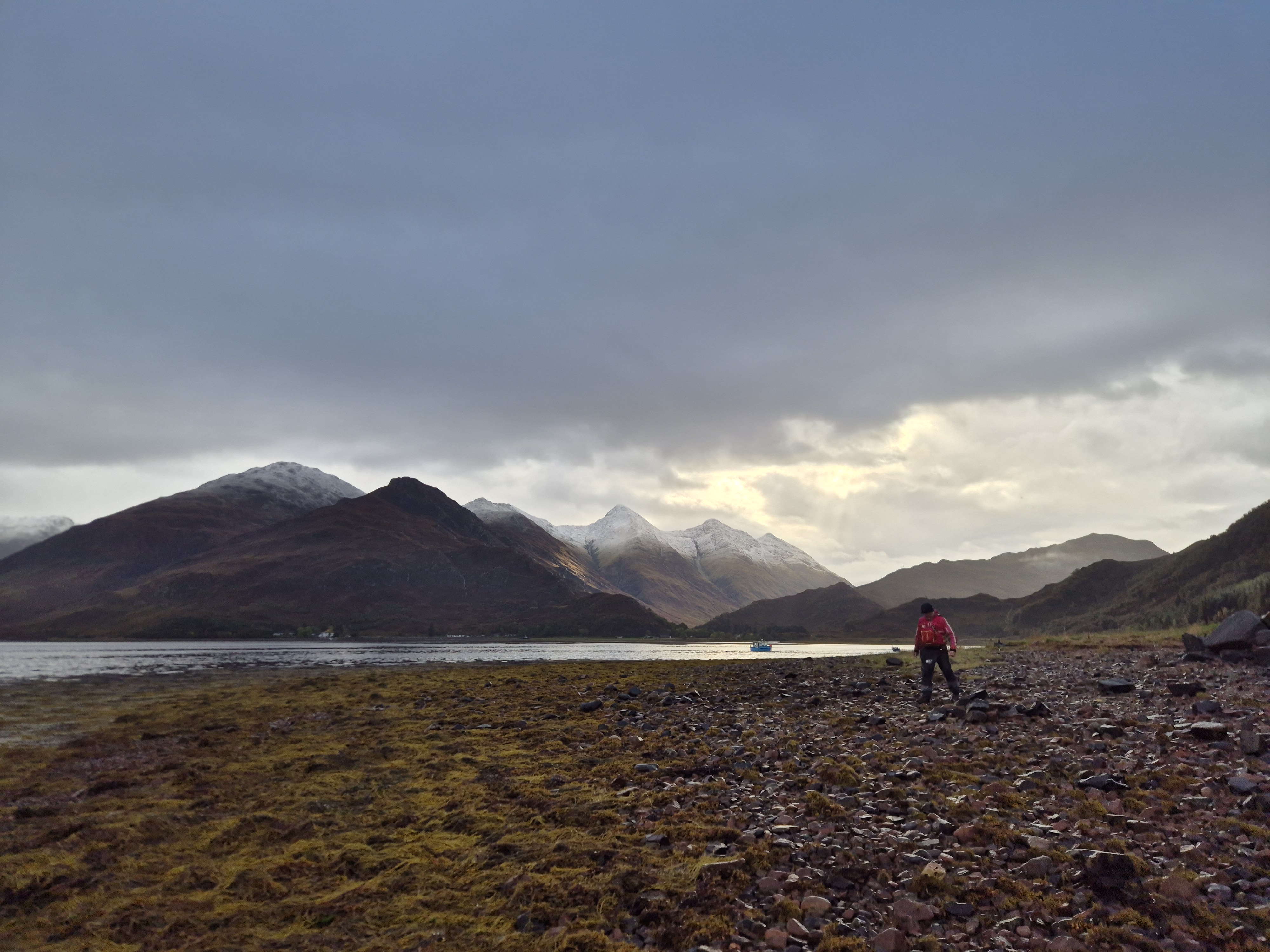
After a year away, we returned to Ratagan for great paddling, delicious food, and even better company—all of which exceeded our expectations.
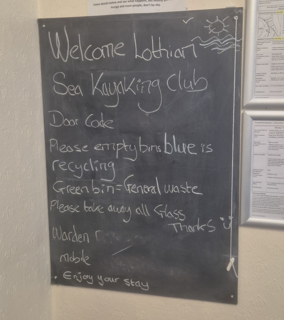
The journey up provided plenty of entertainment as we followed the trail of a wide load making its way through the Scottish Highlands, with several group members being pulled over along the way. Upon arriving on Friday evening, we were warmly welcomed by the hostel’s friendly warden, who gave us a detailed tour of the facilities. Later, we enjoyed a delicious buffet, though the much-anticipated tomato soup was delayed en route.
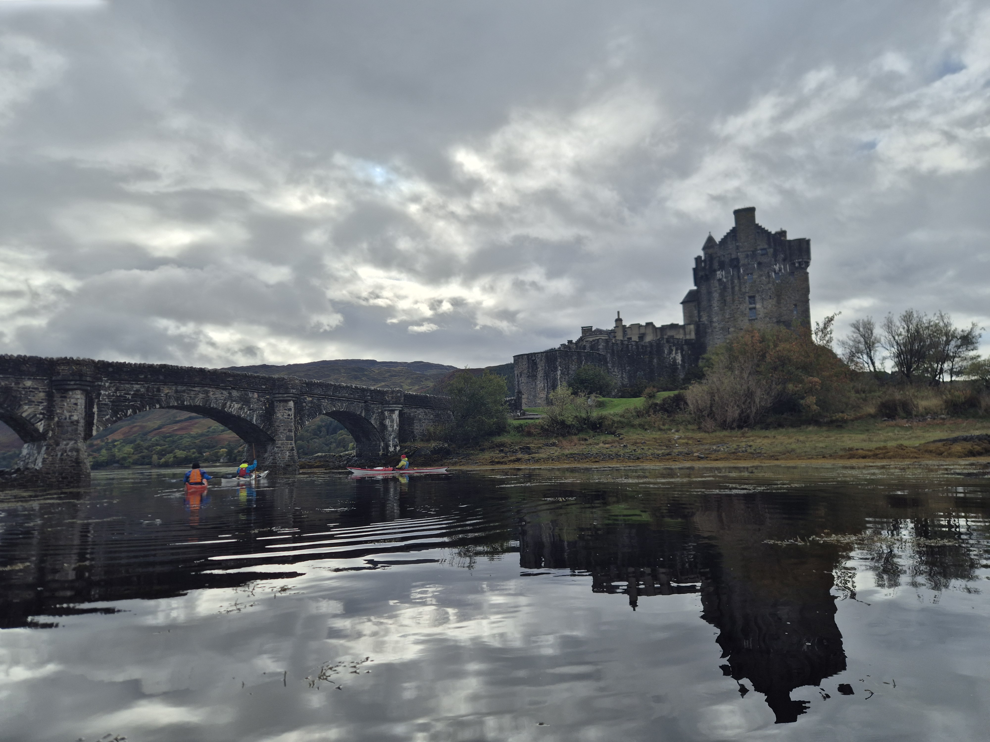
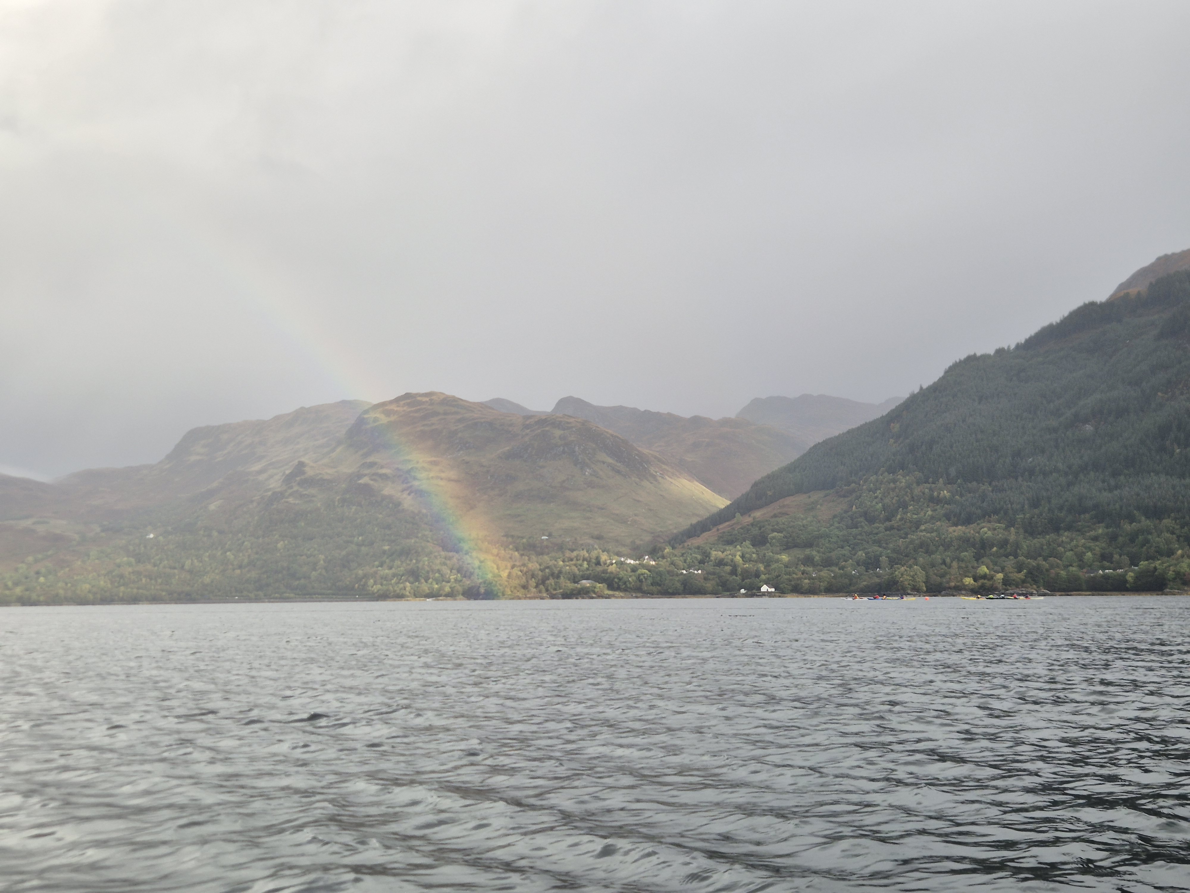
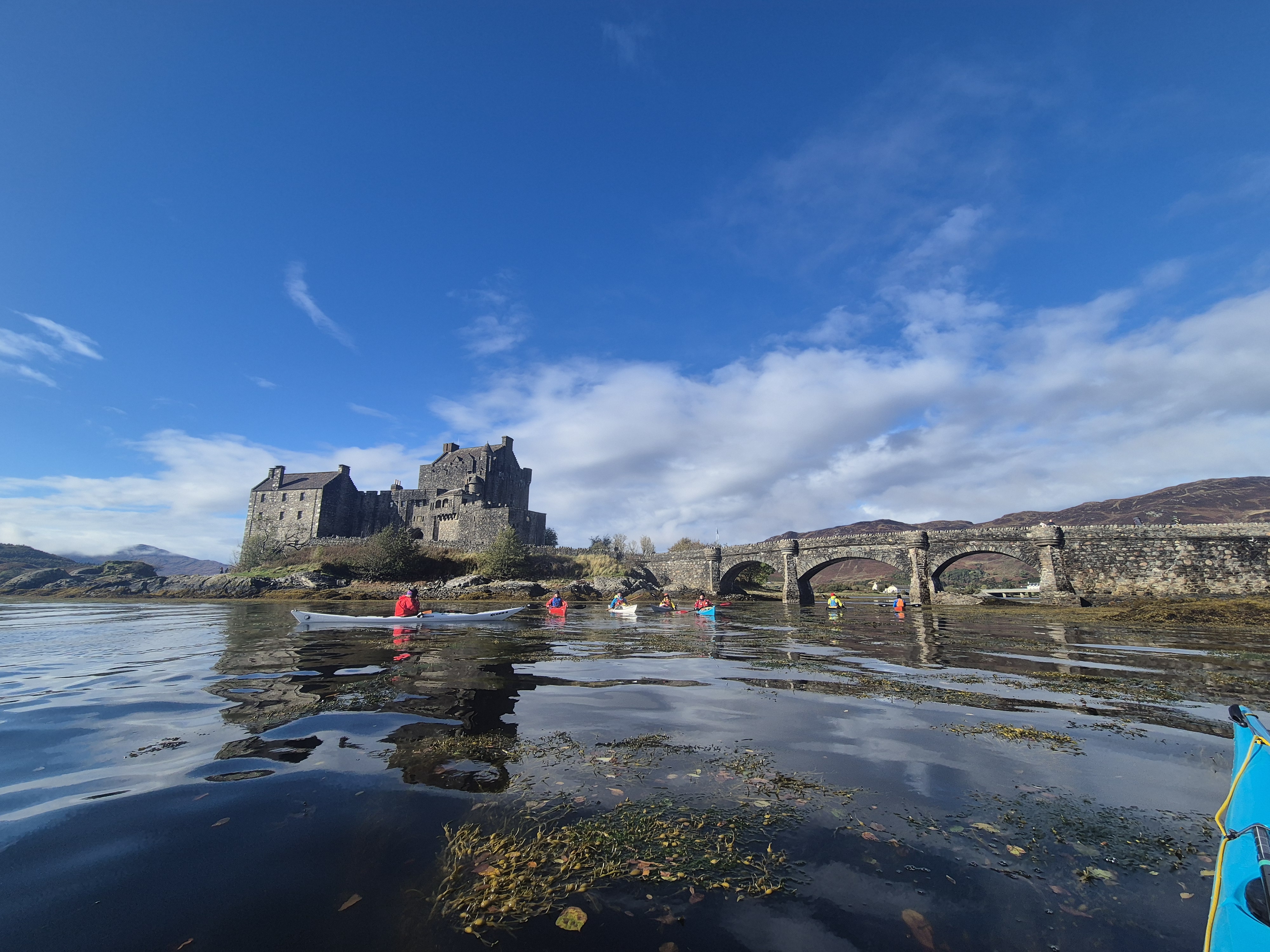
Eilan Donan
With fairly heavy winds and rain forecast for the Saturday the majority of us decided to opt for the relatively sheltered option of paddling from the hostel. We divided ourselves into three factions and the flotilla took to the water – with plenty of rain to see us off.
With rain on and off as we paddled up we took advantage of a break in the rain for an early lunch. We then paddled across to take in the castle and most importantly take advantage of the castle’s well-heated coffee shop and toilets. The good weather persisted with a gentle breeze behind us to aid our return to the hostel – just before a large squall came in.
Distance paddled: 13 miles
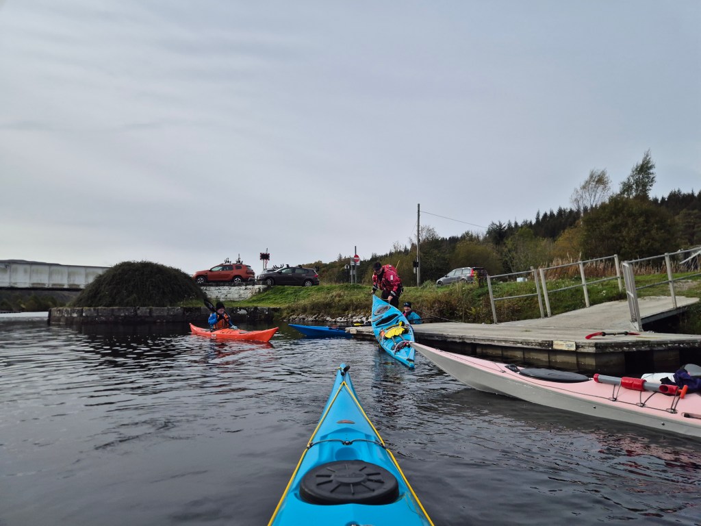
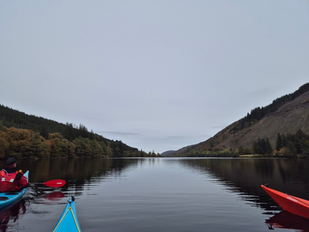
Loch Oich
The following morning the majority of the paddlers decided to paddle from Kyleakin with its large car park capable of accomodating the sizeable group. With a long drive ahead, I joined a splinter group which chose to paddle at Loch Oich on the way home to minimise the post-paddle driving distance. I had paddled the loch previously as part of the Caledonian Canal and as before it provided a lovely scenic and sheltered paddle. There is a car park at the Eastern end where the canal can be accessed from a pontoon – a bit of a challenge for those of us who are used to launching from the beach!
A lovely few hours paddling was had with a break for a generous packed lunch. Despite our best efforts we managed to avoid the weir and exit safely on the dreaded pontoons. A brief regroup at the House of Bruar chip shop aside, we departed for home with another fun weekend behind us.
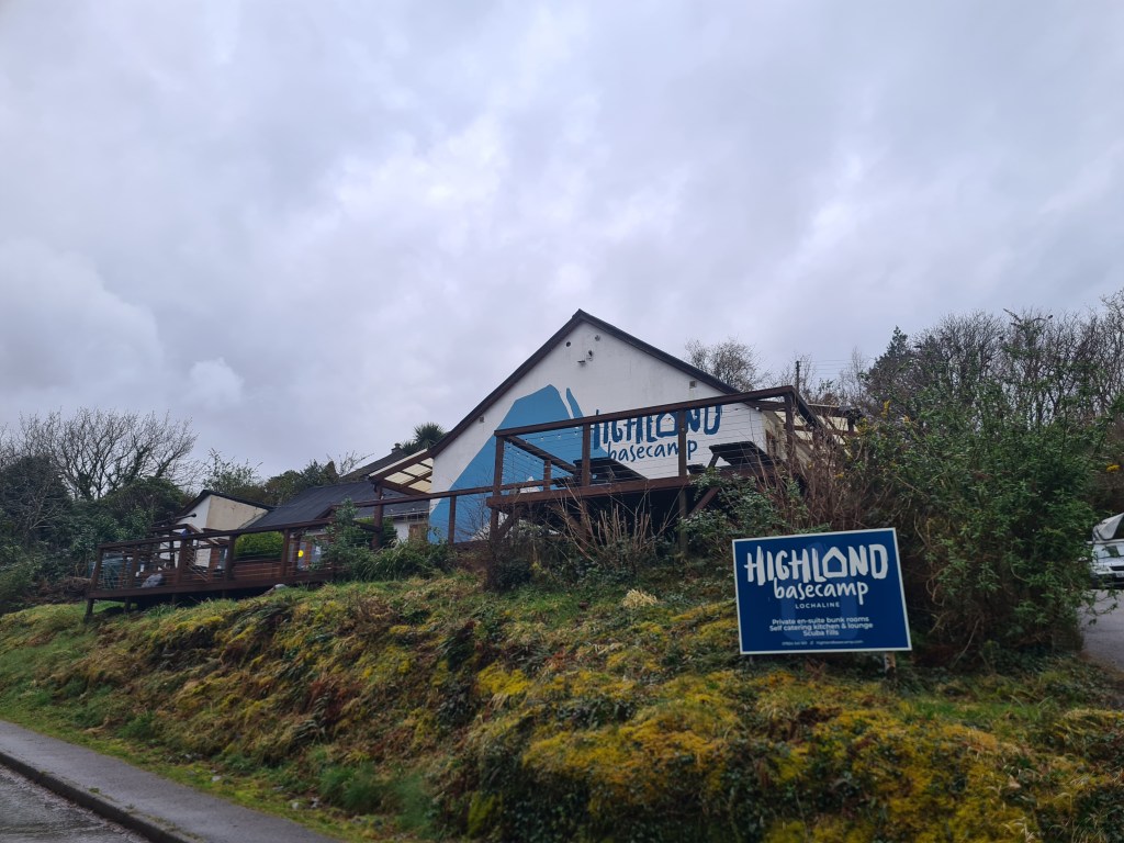
With other members of the Lothian Sea Kayak Club we spent a lovely few days kayaking around Morvern, using the Highland Basecamp bunkhouse at Lochaline as a base.
The hostel itself is a great location, close to the Lochaline to Fishnish ferry. It boasts 14 rooms with twin bunks and an ensuite bathroom – luxurious! The bunkhouse has an absolutely enourmous and well-equipped kitchen and communal space, which served us well on a previous visit when we were unable to kayak due to storm Kathleen.
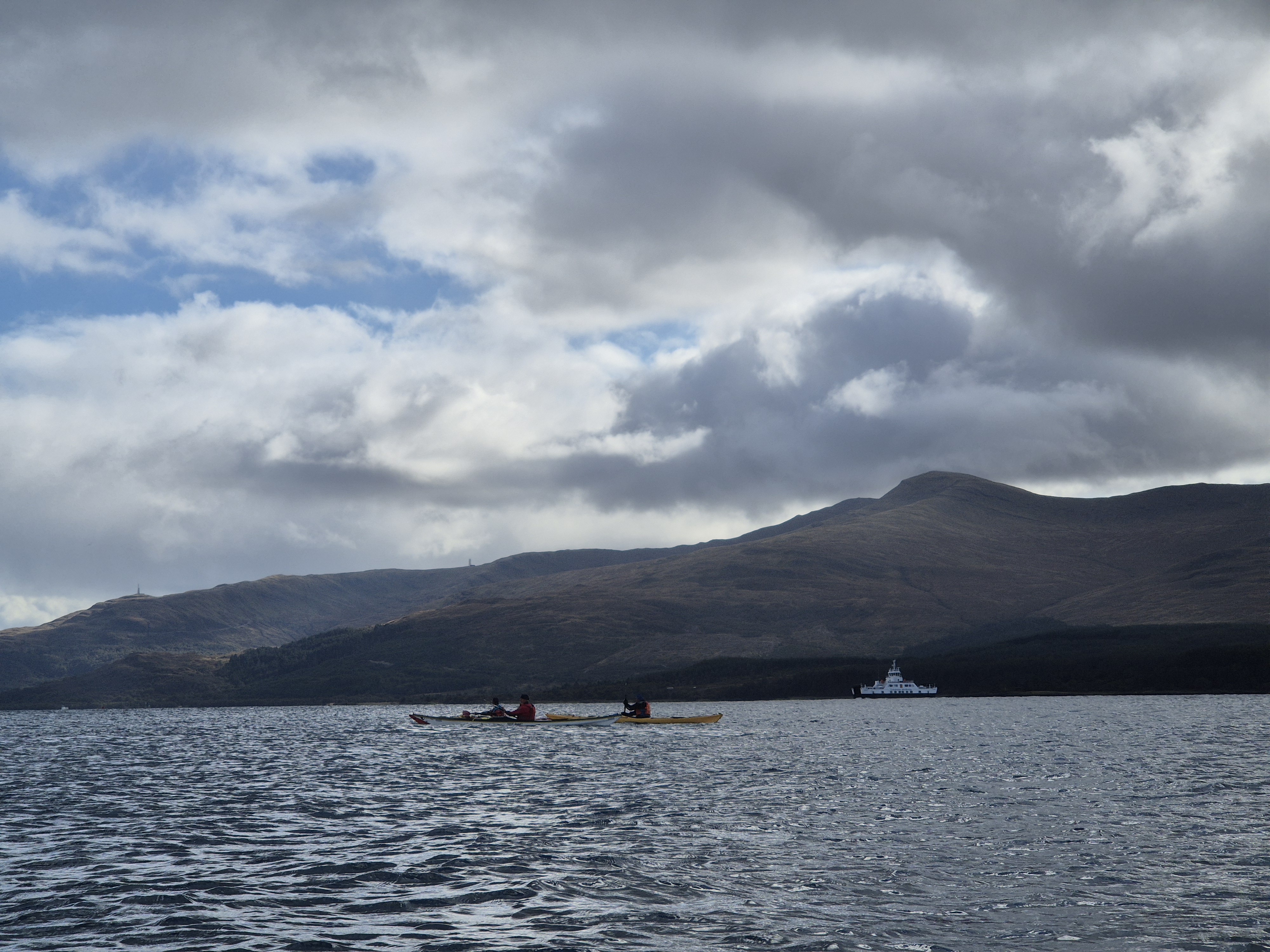
Sound of Mull
Having relatively few experienced leaders in the group we decided to split into two groups for safety but to keep each other in sight at all times. So arranged, we set off on day one for a paddle up the Sound of Mull. We launched from a spot opposite the Lochaline Hotel, allowing us to avoid the narrow entrance to the loch and the dangers of being run down by the ferry. However, it is also possible to launch from the marina inside Lochaline just down from the ferry terminal, with their permission.
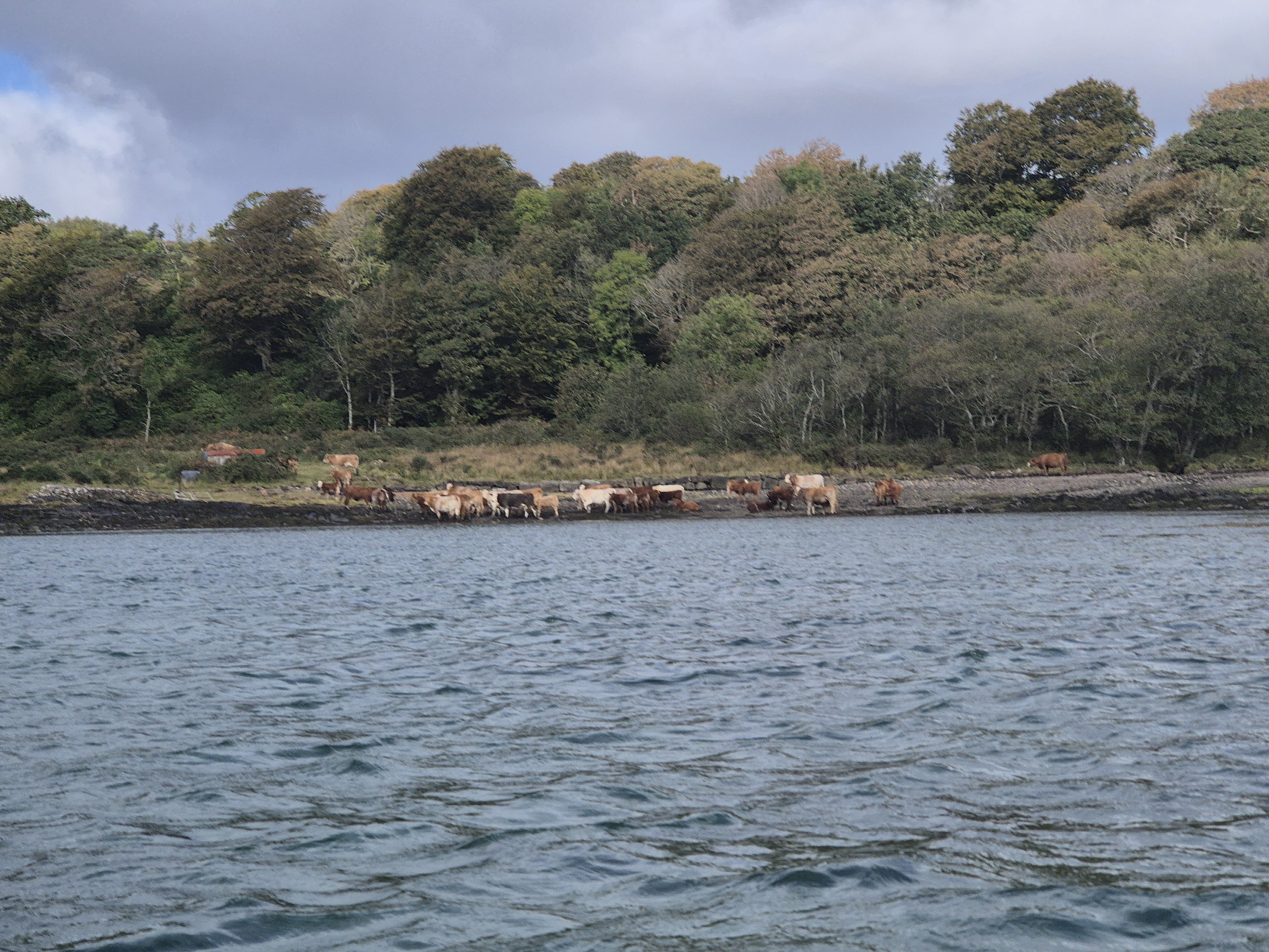
A fairly stiff breeze saw us hugging the coastline as far as Fiunary, where we stopped for lunch – a tight squeeze onto a narrow beach, our planned landing site being obstructed by cows. We then returned the same way back, the wind now behind us and with sightings of dolphins along the opposite coast, and an otter by a couple of the group.
Distance paddled: 7.5miles
Ulva Paddle
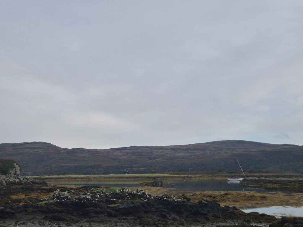
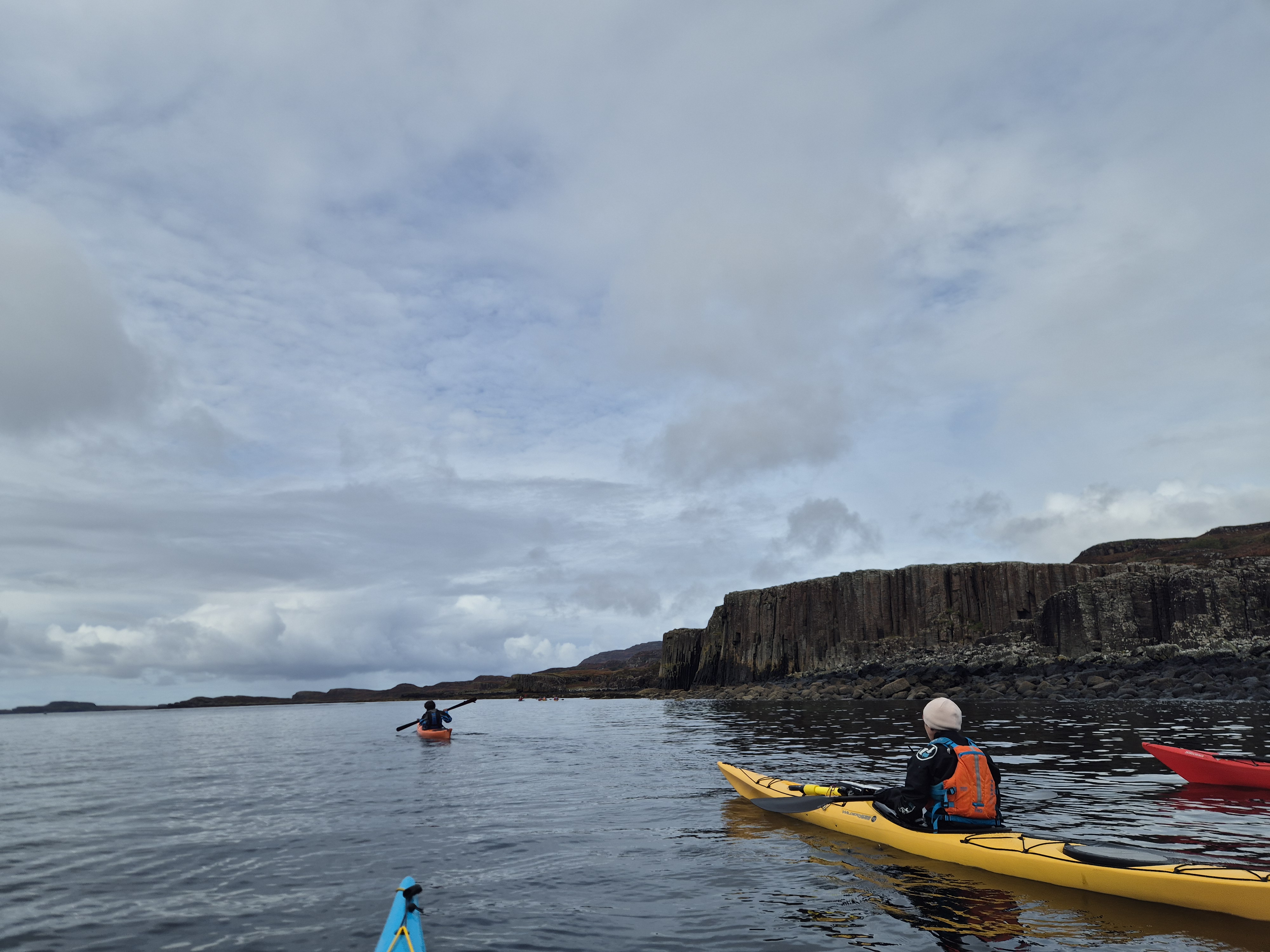
The following day we decided to take advantage of our proximity to the ferry to cross to Mull and attempt a circumnavigation of Ulva. Not having paddled the area before we weren’t sure whether it would be possible to navigate the channel between Ulva and Gometra and therefore trollies were disassembled in preparation. It is possible to launch from the Ulva ferry slipway, taking care to avoid the ferry, the wildlife boat and any lobster fishermen also using the slipway. The facilities there, provided by the community trust, are excellent with plenty of car parking spaces and toilets (and showers!) available.
The South coast of Ulva was very interesting, with lots of the basalt columns more famously known on Staffa. Ulva is apparently also a good jumping off point for a paddle to Staffa – maybe next time! It quickly became apparent that a circumnavigation would be over-ambitious but we were determined to reach the bothy at Craigaig, some of the group having seen it featured on the BBC programme ‘Designing the Hebrides‘. There were a few skerries and rock hopping opportunities, as well as some caves that could do with some more exploration.
The bothy was picturesque as promised and made an excellent lunch location – luckily there was no one staying to be shocked by the appearance of 10 kayakers bearing sandwiches!
The paddle back made for some interesting wave conditions, with a reasonable amount of swell crossing from the South East and a few bits of clapotis and tidal interferance – not to mention the occasional bow wave from the wildlife boat. All navigated safely back to the ferry where we once again dodged lobster fisherman and two of us then rushed back to a posh dinner in the White House restaurant at Lochaline. The channel with Gometra remains an unknown but we will hopefully be back to complete the circuit.
Distance paddled: 9.5 miles
Loch Sunart
For our final day’s paddle as a group we chose the ‘gentle’ option of Loch Sunart, launching from the Southern shore just before Laudale. There was a good launch here with just about sufficient space for our 8 vehicles. We crossed to the Northern shore and had a pleasant paddle along looking out for otters and other wildlife along the tidal flats.
After a stop for lunch close to a hide we attempted the paddle back; at this point the already force 3 breeze had increased meaning that it was a bit of a slog into the wind as we paddled back up the loch, and we also encountered quite a bit of fetch as well as some interaction of the wind and the tide as we attempted to cross the loch. The squalls felt unending and as we neared the finish a group member’s paddle malfunctioned causing her to be blown against the shore, as well as a couple of other paddlers who attempted a rescue. Extraction was difficult due to the seaweed as the rescuers could not gain purchase and so the group leader pushed the affected people off from the shore. Not a particularly dangerous situation, but worth noting when paddling in seaweed! Crisis averted, we returned to our starting point and disbursed to various locations.
Distance paddled: 5.5 miles
Oban
I had chosen to stay on for an extra day of coaching with Laura at the excellent Sea Kayak Oban. A nod also to Oban Youth Hostel with its excellent drying room and free all day parking.
The weekend’s paddling had brought home to me the deficiencies in my forward paddling technique and therefore we focussed first on this, with Laura analysing my technique on the ergonomic kayaking machine before we took to the water. It turns out you are meant to move your hips as well as your core when you are paddling!
Later on we launched at Easedale in the hope of finding some swell and rougher conditions. These didn’t really materialise but we still managed to find some practice in turning in the wind and then a bit of judgement around rock hopping, tackling my fears of being dashed to pieces on rocks. Whether this lasts next time the waves are crashing remains to be seen.